Iracema, Roraima
Iracema (Portuguese pronunciation: [iɾaˈsẽmɐ]) is a municipality located in the midwest of the state of Roraima in Brazil. Its population is 12,296 (2020) and its area is 14,413 km².[2] Iracema started as an agricultural community. It became an independent municipality in 1994.[3] The town is located on the BR-174 highway, and is known for its waterfall.[4]
Iracema | |
|---|---|
 Flag  Coat of arms | |
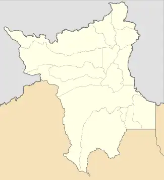 Iracema Location in Brazil 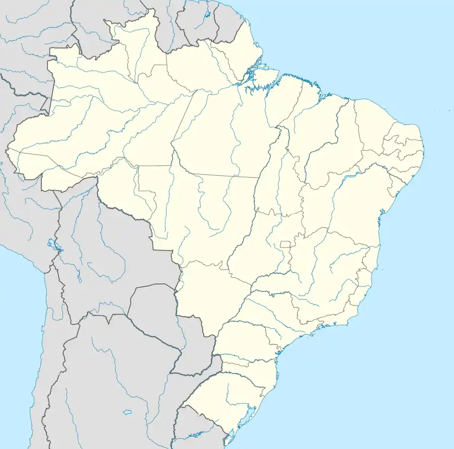 Iracema Iracema (Brazil) | |
| Coordinates: 2°10′55″N 61°2′27″W | |
| Country | Brazil |
| Region | North |
| State | Roraima |
| Government | |
| • Mayor | Jairo Andre Ribeiro Sousa (PMDB) |
| Area | |
| • Total | 14,413 km2 (5,565 sq mi) |
| Population (2020 [1]) | |
| • Total | 12,296 |
| • Density | 0.85/km2 (2.2/sq mi) |
| Time zone | UTC−4 (AMT) |
References
- IBGE 2020
- "IBGE | Cidades | Roraima | Iracema". cidades.ibge.gov.br. Retrieved 2016-06-15.
- "Iracema". IBGE (in Portuguese). Retrieved 15 April 2021.
- "Cachoeiras na Amazônia: deleite para os olhos e purificação para as almas". OLiberal (in Portuguese). Retrieved 15 April 2021.
Wikimedia Commons has media related to Iracema (Roraima).
Capital: Boa Vista | ||
| Boa Vista |  | |
| Nordeste de Roraima | ||
| Caracarai | ||
| Sudeste de Roraima | ||
This article is issued from Wikipedia. The text is licensed under Creative Commons - Attribution - Sharealike. Additional terms may apply for the media files.