Homolje Mountains
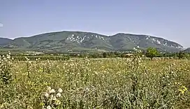
The Homolje Mountains (Serbian: Хомољске планине / Homoljske planine; Romanian: Munții Homolie or Munții Homoliei) is a mountain range in eastern Serbia. The region they are in is also known as Homolje and located between towns of Žagubica in the south and Kučevo in the north.
| Homolje Mountains | |
|---|---|
 | |
| Highest point | |
| Elevation | 940 m (3,080 ft)[1] |
| Coordinates | 44°21′31″N 21°37′45″E |
| Naming | |
| Native name | |
| Geography | |
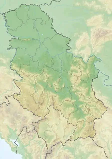 Homolje Mountains Location in Serbia | |
| Location | Eastern Serbia |
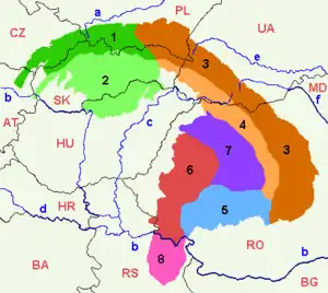
| Parent range | Serbian Carpathians |
Their highest peaks are Štubej (940 m) and Vranj (884 m). Hidden in the mountains is the Orthodox monastery of Vitovnica.[2]
The region of Homolje is sparsely populated, with ethnic Vlachs making a majority of residents in some areas thereof, and because of the small population its nature is unspoilt. One of its attractions is a vast forest called Trest.
References
- Jovan Đokić. "Katalog planina Srbije". PSD Kopaonik Beograd. Archived from the original on 2011-05-18.
- Manastir Vitovnica (in Serbian), archived from the original on 2007-09-28, retrieved 2010-08-18
External links
Divisions, Groups, and Ranges of the Carpathian Mountains | ||||||
|---|---|---|---|---|---|---|
| Western Carpathians |
|  | ||||
| Eastern Carpathians |
| |||||
| Southern Carpathians | ||||||
| Western Romanian Carpathians | ||||||
| Serbian Carpathians | ||||||
| Adjacent regions | ||||||
| Grouping by country |
| |||||
This article is issued from Wikipedia. The text is licensed under Creative Commons - Attribution - Sharealike. Additional terms may apply for the media files.