Henlawson, West Virginia
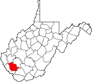
Henlawson is a census-designated place (CDP) in Logan County, West Virginia, United States. Henlawson has a post office with ZIP code 25624.[4] As of the 2010 census, its population was 442.[2] Henlawson is believed to have been named after a resident, Henry Lawson.[5] Merrill Coal Mines opened Merrill Mines here in 1921 and built homes to house the miners.[6]
Henlawson, West Virginia | |
|---|---|
 Henlawson  Henlawson | |
| Coordinates: 37°54′08″N 81°59′17″W | |
| Country | United States |
| State | West Virginia |
| County | Logan |
| Area | |
| • Total | 0.830 sq mi (2.15 km2) |
| • Land | 0.802 sq mi (2.08 km2) |
| • Water | 0.028 sq mi (0.07 km2) |
| Elevation | 667 ft (203 m) |
| Population | |
| • Total | 442 |
| • Density | 551.1/sq mi (212.8/km2) |
| Time zone | UTC-5 (Eastern (EST)) |
| • Summer (DST) | UTC-4 (EDT) |
| ZIP code | 25624 |
| Area code(s) | 304 & 681 |
| GNIS feature ID | 1540150[3] |
| FIPS code | 54-36484 |
Geography
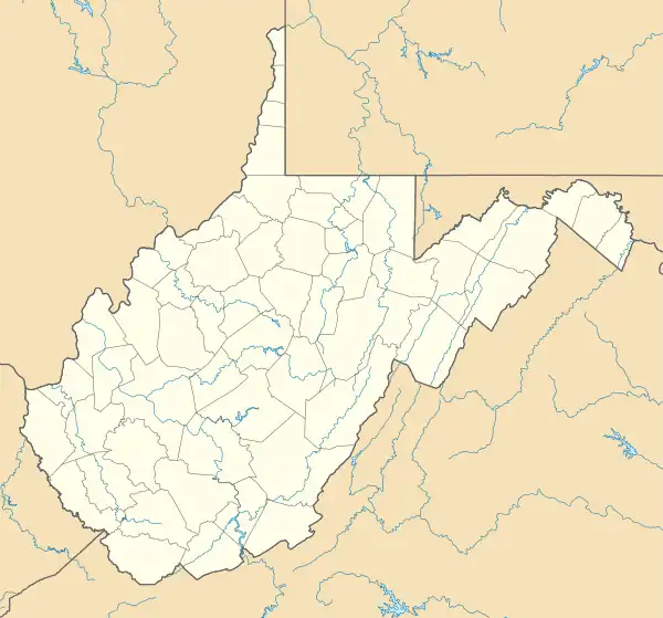
Henlawson is located in north-central Logan County, on the east bank of the Guyandotte River across from Mitchell Heights to the north and Justice Addition to the southwest. It is 5 miles (8 km) north of Logan, the county seat.
According to the U.S. Census Bureau, the Henlawson CDP has a total area of 0.83 square miles (2.15 km2), of which 0.80 square miles (2.08 km2) are land and 0.027 square miles (0.07 km2), or 3.35%, are water.[1] The Guyandotte is a north-flowing tributary of the Ohio River.
References
- "2020 U.S. Gazetteer Files – West Virginia". United States Census Bureau. Retrieved March 11, 2021.
- "Total Population: 2010 Census DEC Summary File 1 (P1), Henlawson CDP, West Virginia". data.census.gov. U.S. Census Bureau. Retrieved March 11, 2021.
- U.S. Geological Survey Geographic Names Information System: Henlawson, West Virginia
- ZIP Code Lookup
- "Henlawson, WV - Logan WV". Logan WV. Retrieved January 27, 2021.
- "Merrill Park, WV". Coal Camp USA. Retrieved January 27, 2021.