Gulariha
Gulariha is a village in Hilauli block of Unnao district, Uttar Pradesh, India.[2] It is a dispersed settlement with several constituent hamlets, and it is right next to the border with Rae Bareli district.[3] The Bhundi tank is located in the village, and it provides water for irrigation.[3] As of 2011, its population is 12,482, in 2,300 households, and it has 10 primary schools and no healthcare facilities.[2]
Gulariha | |
|---|---|
Village | |
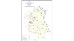 Map showing Gulariha (#666) in Hilauli CD block | |
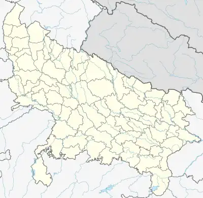 Gulariha Location in Uttar Pradesh, India | |
| Coordinates: 26.327596°N 80.969335°E[1] | |
| Country India | |
| State | Uttar Pradesh |
| District | Unnao |
| Area | |
| • Total | 24.518 km2 (9.466 sq mi) |
| Population (2011)[2] | |
| • Total | 12,482 |
| • Density | 510/km2 (1,300/sq mi) |
| Languages | |
| • Official | Hindi |
| Time zone | UTC+5:30 (IST) |
| Vehicle registration | UP-35 |
History
Gulariha is said to have been found sometime around the year 1350 by one Gular Singh Thakur.[3] At the turn of the 20th century, it was described as "a large and scattered village" connected by road to Maurawan, but otherwise relatively ordinary.[3] It had a primary school and a market.[3] In 1901 its population was recorded as being 3,701 people, mostly from the Lodh community.[3]
The 1961 census recorded Gulariha as comprising 15 hamlets, with a total population of 4,943 (2,554 male and 2,389 female), in 1,035 households and 788 physical houses.[4] The area of the village was given as 6,278 acres.[4] It had a post office then.[4]
References
- Search for "Gulariha" here https://geonames.nga.mil/namesgaz/.
{{cite web}}: Missing or empty|title=(help) - "Census of India 2011: Uttar Pradesh District Census Handbook - Unnao, Part A (Village and Town Directory)". Census 2011 India. pp. 373–89. Retrieved 11 July 2021.
- Nevill, H.R. (1903). Unao: A Gazetteer, Being Volume XXXVIII Of The District Gazetteers Of The United Provinces Of Agra And Oudh. Allahabad: Government Press. pp. 179–80. Retrieved 11 July 2021.
- Census 1961: District Census Handbook, Uttar Pradesh (37 - Unnao District) (PDF). Lucknow. 1965. pp. cxii-cxiii of section "Purwa Tehsil". Retrieved 11 July 2021.
{{cite book}}: CS1 maint: location missing publisher (link)