Guaíra Airport
Walter Martins de Oliveira Municipal Airport (IATA: GGJ, ICAO: SSGY) is the airport serving Guaíra, Brazil.
Walter Martins de Oliveira Municipal Airport Aeroporto Municipal Walter Martins de Oliveira | |||||||||||
|---|---|---|---|---|---|---|---|---|---|---|---|
 | |||||||||||
| Summary | |||||||||||
| Airport type | Public | ||||||||||
| Operator | Guaíra SEIL | ||||||||||
| Serves | Guaíra | ||||||||||
| Time zone | BRT (UTC−03:00) | ||||||||||
| Elevation AMSL | 271 m / 889 ft | ||||||||||
| Coordinates | 24°04′47″S 054°11′17″W | ||||||||||
| Map | |||||||||||
 GGJ Location in Brazil 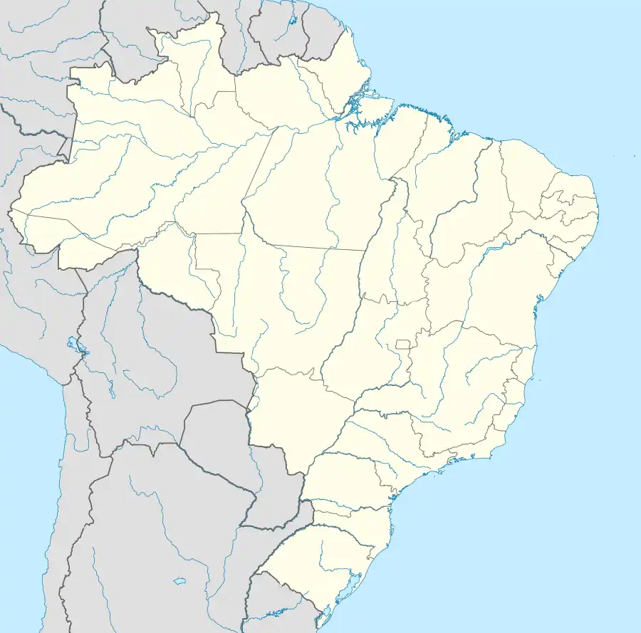 GGJ GGJ (Brazil) | |||||||||||
| Runways | |||||||||||
| |||||||||||
| Statistics (2009) | |||||||||||
| |||||||||||
It is operated by the Municipality of Guaíra under the supervision of Aeroportos do Paraná (SEIL).
History
The airport was closed for renovation between 2010 and 2014.[4]
Airlines and destinations
| Airlines | Destinations |
|---|---|
| Azul Conecta | Curitiba |
Access
The airport is located 10 km (6 mi) east from downtown Guaíra.
See also
References
- "Estatística de passageiros" (PDF) (in Portuguese). SEIL. March 2012. Archived from the original (PDF) on 5 October 2013. Retrieved 18 July 2020.
- "Movimentação de aeronaves" (PDF). SEIL (in Portuguese). March 2012. Archived from the original (PDF) on 4 March 2016. Retrieved 18 July 2020.
- "Aeródromos". ANAC (in Portuguese). 22 August 2019. Retrieved 30 December 2020.
- "Aeroporto de Guaíra está liberado". Município de Guaíra (in Portuguese). 5 September 2014. Retrieved 18 July 2020.
External links
- Airport information for SSGY at Great Circle Mapper. Source: DAFIF (effective October 2006).
- Current weather for SSGY at NOAA/NWS
- Accident history for QGA at Aviation Safety Network
Airports in Paraná | |
|---|---|
This article is issued from Wikipedia. The text is licensed under Creative Commons - Attribution - Sharealike. Additional terms may apply for the media files.