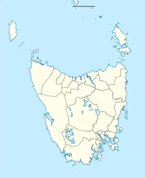
Gretna, Tasmania
Gretna is a rural locality in the local government areas (LGA) of Central Highlands and Derwent Valley in the Central and South-east LGA regions of Tasmania. The locality is about 20 kilometres (12 mi) south-east of the town of Hamilton. The 2016 census has a population of 211 for the state suburb of Gretna.[1] It was formerly known as Stony Hut Plains,[2] though the Gretna post office was known as Macquarie Plains for many years.[3] It has a postcode of 7140.
| Gretna Tasmania | |||||||||||||||
|---|---|---|---|---|---|---|---|---|---|---|---|---|---|---|---|
.jpg.webp) B class locomotive at Macquarie Plains station | |||||||||||||||
 Gretna | |||||||||||||||
| Coordinates | 42°39′30″S 146°58′00″E | ||||||||||||||
| Population | 211 (2016 census)[1] | ||||||||||||||
| Postcode(s) | 7140 | ||||||||||||||
| Location | 20 km (12 mi) SE of Hamilton | ||||||||||||||
| LGA(s) | Central Highlands, Derwent Valley | ||||||||||||||
| Region | Central, South-east | ||||||||||||||
| State electorate(s) | Lyons | ||||||||||||||
| Federal division(s) | Lyons | ||||||||||||||
| |||||||||||||||
History
Gretna was gazetted as a locality in 1959.[4]
Macquarie Plains Post Office opened in 1932 and was renamed Gretna in 1907.[5]
Geography
The River Derwent forms the south-western and part of the southern boundaries of the locality. The A10 route (Lyell Highway) passes through from south to north-west, and two minor numbered routes branch from it. The C181 route (Marked Tree Road) runs north through the locality to meet the B110 route (Hollow Tree Road) in the locality of Hollow Tree, and the C183 route (Bluff Road) runs north-east to Elderslie.
Landmarks
Gretna is the location of three heritage listed locations, all of which were listed on the Register of the National Estate before its removal and along with 5 other properties are on the Tasmanian Heritage Register to this day.[6]
- St Mary the Virgin Anglican Church, the local church built in 1848.[7]
- Glenelg House, designed by Henry Hunter and finished in 1878, built for the Downie family.[8]
- Clarendon House, built by William Borrodaile Wilson in 1821.[9]
References
- "2016 Census Quick Stats Gretna (Tas.)". quickstats.censusdata.abs.gov.au. Australian Bureau of Statistics. 23 October 2017. Retrieved 13 September 2020.
- Dennison, C.J. Where in Tasmania (PDF). University of Tasmania. Retrieved 27 July 2020.
- "TASMANIAN PLACE NAMES and CHANGES". hobart.tasfhs.org. Tasmanian Family History Society Inc. Archived from the original on 3 February 2019. Retrieved 20 February 2015.
- "Placenames Tasmania – Gretna". Placenames Tasmania. Select “Search”, enter "1025F", click “Search”, select row, map is displayed, click “Details”. Retrieved 13 September 2020.
- "Post Office List". Premier Postal Auctions. Retrieved 21 September 2020.
- "Tasmanian Heritage Register". heritage.tas.gov.au. Heritage Tasmania. Retrieved 20 February 2015.
- "St Mary the Virgin Anglican Church and Churchyard, 31 Church Rd, Gretna, TAS, Australia". environment.gov.au. Department of Environment, Commonwealth of Australia. Retrieved 20 February 2015.
- "Glenelg and Barn, Lyell Hwy, Gretna, TAS, Australia". environment.gov.au. Department of Environment, Commonwealth of Australia. Retrieved 20 February 2015.
- "Clarendon and Outbuildings, 205 Clarendon Rd, Gretna, TAS, Australia". environment.gov.au. Department of Environment, Commonwealth of Australia. Retrieved 20 February 2015.