Getap, Aragatsotn
Getap
Գետափ | |
|---|---|
 Getap 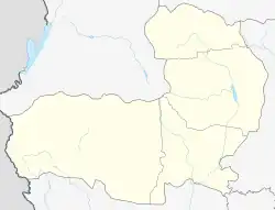 Getap | |
| Coordinates: 40°23′14″N 43°37′18″E | |
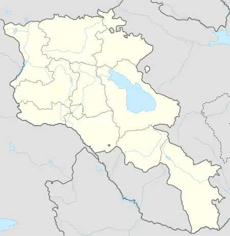
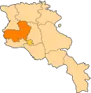
| Country | Armenia |
| Province | Aragatsotn |
| Municipality | Aragatsavan |
| Population (2001) | |
| • Total | 183 |
| Time zone | UTC+4 |
| • Summer (DST) | UTC+5 |
Getap (Armenian: Գետափ), known until 1946 as Karakula or Gharaghla[1] is a village in the Aragatsavan Municipality of the Aragatsotn Province of Armenia, located near the Armenia–Turkey border.
References
- Kiesling, Brady (June 2000). Rediscovering Armenia: An Archaeological/Touristic Gazetteer and Map Set for the Historical Monuments of Armenia (PDF). Archived (PDF) from the original on 6 November 2021.
This article is issued from Wikipedia. The text is licensed under Creative Commons - Attribution - Sharealike. Additional terms may apply for the media files.