Gesves
Gesves (French: [ʒɛv]; Walloon: Djeve) is a municipality of Wallonia located in the province of Namur, Belgium.
Gesves
| |
|---|---|
 | |
 Coat of arms | |
Location of Gesves | |
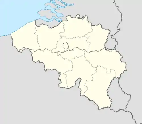 Gesves Location in Belgium
Location of Gesves in Namur Province 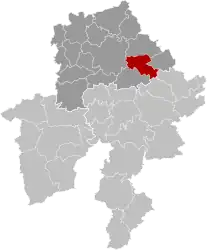 | |
| Coordinates: 50°24′N 05°04′E | |
| Country | |
| Community | French Community |
| Region | Wallonia |
| Province | Namur |
| Arrondissement | Namur |
| Government | |
| • Mayor | Martin Van Audenrode |
| • Governing party/ies | RPG plus |
| Area | |
| • Total | 65.03 km2 (25.11 sq mi) |
| Population (2018-01-01)[1] | |
| • Total | 7,210 |
| • Density | 110/km2 (290/sq mi) |
| Postal codes | 5340 |
| NIS code | 92054 |
| Area codes | 083 |
| Website | www.gesves.be |
The municipality consists of the following districts: Faulx-les-Tombes, Gesves, Haltinne, Mozet, and Sorée. It also includes the hamlets of Gramptinne, Goyet (site of glacial remnants of Neanderthals), Haut-Bois, and Strud (site where fossil of Strudiella devonica, a Late Devonian insect, was discovered).
On 1 January 2006 the municipality had 6,321 inhabitants. The total area is 64.92 km², giving a population density of 97 inhabitants per km². On 1 December 2019, the population had grown to 7,246 inhabitants (3,612 men and 3,634 women), representing a growth of 14.63% over the course of 13 years.

Mozet, the Baseille farm.
References
- "Wettelijke Bevolking per gemeente op 1 januari 2018". Statbel. Retrieved 9 March 2019.
External links
 Media related to Gesves at Wikimedia Commons
- Official website (in French)
- Gesves.com portal (in French)
Municipalities in the province of Namur, Wallonia | ||
|---|---|---|
| Dinant |  | |
| Namur | ||
| Philippeville | ||
Bold indicates cities | ||
This article is issued from Wikipedia. The text is licensed under Creative Commons - Attribution - Sharealike. Additional terms may apply for the media files.