Garsfontein
Garsfontein is a residential suburb of the city of Pretoria in the Gauteng province of South Africa. It is a well-developed area, lying to the east of the city centre, close to the Menlyn Park shopping center.
Garsfontein | |
|---|---|
 Garsfontein 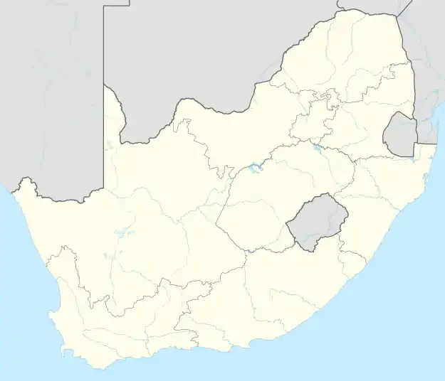 Garsfontein 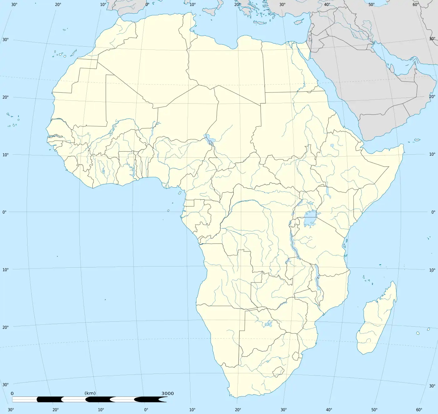 Garsfontein | |
| Coordinates: 25.7913°S 28.2935°E | |
| Country | South Africa |
| Province | Gauteng |
| Municipality | City of Tshwane |
| Main Place | Pretoria |
| Area | |
| • Total | 7.30 km2 (2.82 sq mi) |
| Population (2011)[1] | |
| • Total | 19,501 |
| • Density | 2,700/km2 (6,900/sq mi) |
| Racial makeup (2011) | |
| • Black African | 17.6% |
| • Coloured | 1.8% |
| • Indian/Asian | 2.0% |
| • White | 77.5% |
| • Other | 1.1% |
| First languages (2011) | |
| • Afrikaans | 58.7% |
| • English | 26.9% |
| • Northern Sotho | 2.2% |
| • Zulu | 1.9% |
| • Other | 10.4% |
| Time zone | UTC+2 (SAST) |
| Postal code (street) | Boxes: 0042 Streets: 0081 |
| PO box | 0042 |
Education
Garsfontein is served by Laerskool Garsfontein a public elementary school and Hoërskool Garsfontein a public high school, both of which are primarily Afrikaans speaking schools.
Points of interest
- Zita Park is public park which is frequented by families and children, it has well maintained facilities including a paddling pool, water slide, playground equipment, ablution facilities and a tuck shop. According to an article in Pretoria News on August 10, 2006 the park was established on the location of a cemetery for the black community formerly living there. The Eastwood Location was established as a black community on 1905, but under the proclamation of the Group Areas Act of 1950 the area was designated as a white area and resulted in the removal of the black residents.
References
- "Sub Place Garsfontein". Census 2011.
Places adjacent to Garsfontein | ||||||||||||||||
|---|---|---|---|---|---|---|---|---|---|---|---|---|---|---|---|---|
| ||||||||||||||||
.svg.png.webp)
This article is issued from Wikipedia. The text is licensed under Creative Commons - Attribution - Sharealike. Additional terms may apply for the media files.