Gabès – Matmata International Airport
Gabès – Matmata International Airport (French: Aéroport International de Gabés - Matmata) (IATA: GAE, ICAO: DTTG) is an airport serving Gabès, the capital of the Gabès Governorate in the centre-east of Tunisia.[3]
Gabès - Matmata International Airport Aéroport International de Gabés - Matmata مطار قابس مطماطة الدولي | |||||||||||
|---|---|---|---|---|---|---|---|---|---|---|---|
| Summary | |||||||||||
| Airport type | Public | ||||||||||
| Operator | Tunisian Civil Aviation & Airports Authority | ||||||||||
| Serves | Gabès, Gabès Governorate, Tunisia | ||||||||||
| Elevation AMSL | 125 m / 410 ft | ||||||||||
| Coordinates | 33°44′03″N 009°55′12″E | ||||||||||
| Map | |||||||||||
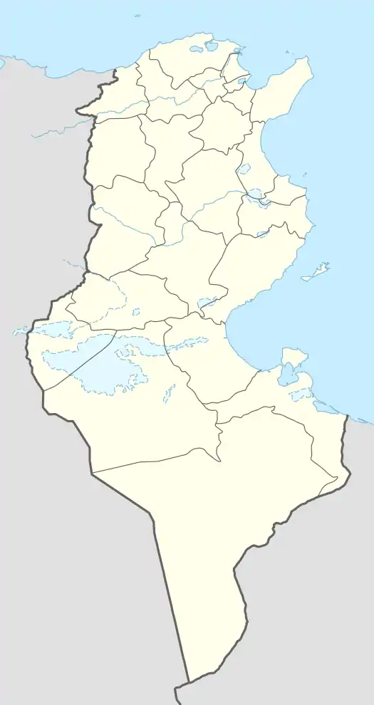 GAE Location of the airport in Tunisia | |||||||||||
| Runways | |||||||||||
| |||||||||||
Airlines and destinations
| Airlines | Destinations |
|---|---|
| Tunisair Express | Gafsa, Sfax, Tozeur, Tunis |
References
- "Airport information for DTTG". World Aero Data. Archived from the original on 2019-03-05.
{{cite web}}: CS1 maint: unfit URL (link) Data current as of October 2006. Source: DAFIF. - Airport information for GAE at Great Circle Mapper. Source: DAFIF (effective October 2006).
- Gabès - Matmata International Airport Archived 2011-08-08 at the Wayback Machine at Office de l'Aviation Civile et des Aeroports (OACA) Archived May 25, 2009, at the Wayback Machine
External links
- Tunisian Civil Aviation and Airports Authority (OACA)
- Current weather for DTTG at NOAA/NWS
- Accident history for GAE at Aviation Safety Network
This article is issued from Wikipedia. The text is licensed under Creative Commons - Attribution - Sharealike. Additional terms may apply for the media files.