Franklin Land District
Franklin Land District is one of the twenty land districts of Tasmania which are part of the Cadastral divisions of Tasmania.[1] It used to be Franklin County, one of the 18 counties of Tasmania. Frenchmans Cap mountain is located there. It includes most of the Franklin-Gordon Wild Rivers National Park.
| Franklin Tasmania | |||||||||||||||
|---|---|---|---|---|---|---|---|---|---|---|---|---|---|---|---|
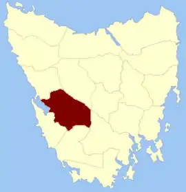 Location in Tasmania | |||||||||||||||
| |||||||||||||||
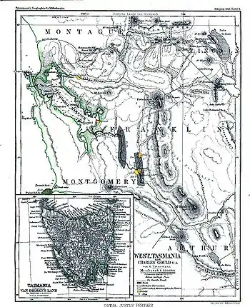
Map of Franklin county and the surrounding area in 1865
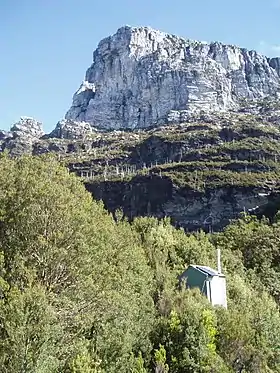
Frenchmans Cap, located within the district
References
- "LISTmap - Land Information System Tasmania". maps.thelist.tas.gov.au. Retrieved 6 June 2023.
This article is issued from Wikipedia. The text is licensed under Creative Commons - Attribution - Sharealike. Additional terms may apply for the media files.