Fort Littleton, Pennsylvania
Fort Littleton is an unincorporated community in Dublin Township in Fulton County, Pennsylvania, United States. Fort Littleton is located at the junction of U.S. Route 522 and Plum Hollow Road, a short distance north of an interchange between US 522 and the Pennsylvania Turnpike (Interstate 76), which is called the Fort Littleton interchange.[2] The town was named for the 18th century Fort Lyttleton and was established near the fort's former location in 1767.[3]
Fort Littleton, Pennsylvania | |
|---|---|
Unincorporated community | |
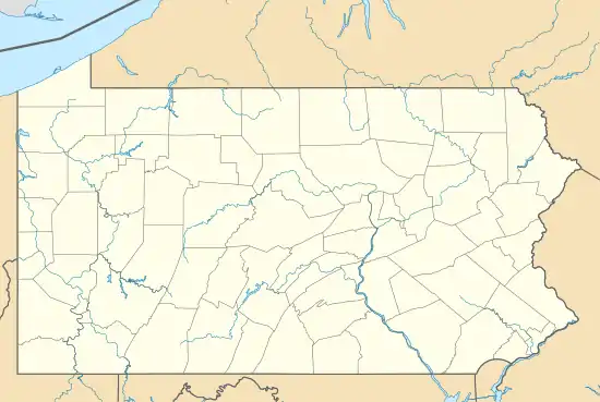 Fort Littleton  Fort Littleton | |
| Coordinates: 40°3′46″N 77°57′49″W | |
| Country | United States |
| State | Pennsylvania |
| County | Fulton |
| Township | Dublin |
| Elevation | 801 ft (244 m) |
| Time zone | UTC-5 (Eastern (EST)) |
| • Summer (DST) | UTC-4 (EDT) |
| ZIP code | 17223 |
| Area code | 717 |
| GNIS feature ID | 1175013[1] |
References
- "Fort Littleton". Geographic Names Information System. United States Geological Survey, United States Department of the Interior.
- Fulton County, Pennsylvania Highway Map (PDF) (Map). PennDOT. 2014. Retrieved November 10, 2015.
- "History of Dublin Township," in History of Bedford, Somerset, and Fulton Counties, Pennsylvania, Chicago: Waterman, Watkins & Co., 1884; pp. 594-601, 659-664
Municipalities and communities of Fulton County, Pennsylvania, United States | ||
|---|---|---|
| Boroughs |  | |
| Townships | ||
| CDP | ||
| Unincorporated communities | ||
| Footnotes | ‡This populated place also has portions in an adjacent county or counties | |
This article is issued from Wikipedia. The text is licensed under Creative Commons - Attribution - Sharealike. Additional terms may apply for the media files.