Farmer, North Carolina
Farmer is an unincorporated community in Randolph County, North Carolina, United States.
Farmer, North Carolina | |
|---|---|
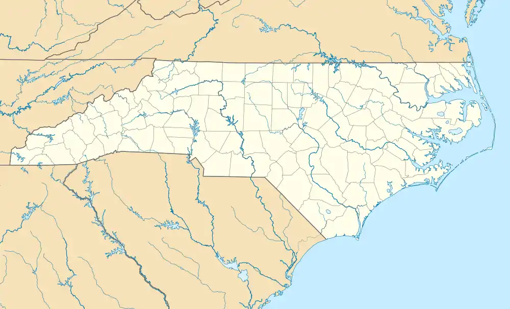 Location of Farmer in North Carolina  Farmer, North Carolina (the United States) | |
| Coordinates: 35°39′12″N 79°58′37″W | |
| Country | United States |
| State | North Carolina |
| County | Randolph |
| Elevation | 538 ft (164 m) |
| Time zone | UTC-5 (Eastern (EST)) |
| • Summer (DST) | UTC-4 (EDT) |
| Area code | 336 |
| GNIS feature ID | 1011180[1] |
| Other name | Former[1] |
It is located off NC 49, southwest of the highway's intersection with U.S. 64 in Asheboro.
References
- U.S. Geological Survey Geographic Names Information System: Farmer, North Carolina. Retrieved on 2008-05-04.
Municipalities and communities of Randolph County, North Carolina, United States | ||
|---|---|---|
| Cities |  | |
| Towns | ||
| Unincorporated communities | ||
| Footnotes | ‡This populated place also has portions in an adjacent county or counties | |
This article is issued from Wikipedia. The text is licensed under Creative Commons - Attribution - Sharealike. Additional terms may apply for the media files.