Fairdealing, Missouri
Fairdealing is an unincorporated community and census-designated place located in northeastern Ripley County in southeastern Missouri, United States. As of the 2020 census, the community had a population of 543.[3] It is located along U.S. Route 160, approximately 16 miles (26 km) southwest of Poplar Bluff.[4]
Fairdealing, Missouri | |
|---|---|
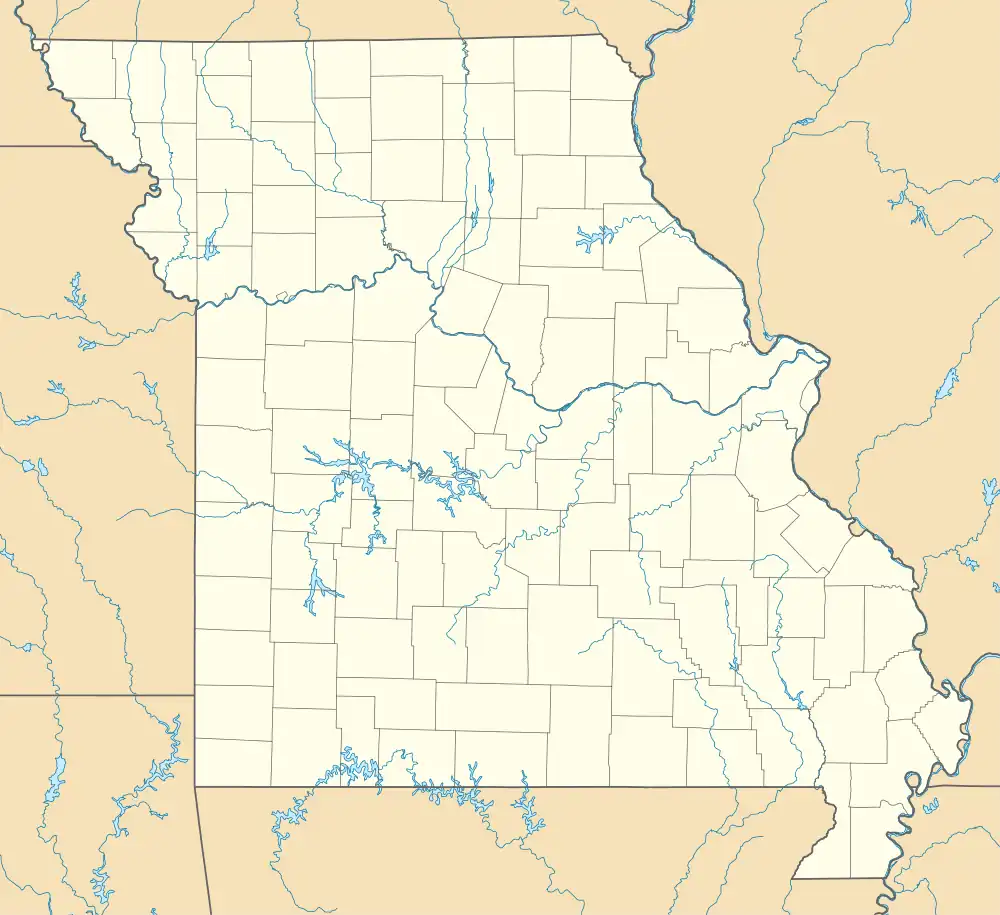 Fairdealing Location of Fairdealing within the state of Missouri | |
| Coordinates: 36°39′42″N 90°35′30″W[1] | |
| Country | United States |
| State | Missouri |
| County | Ripley |
| Area | |
| • Total | 5.71 sq mi (14.79 km2) |
| • Land | 5.70 sq mi (14.77 km2) |
| • Water | 0.01 sq mi (0.02 km2) |
| Elevation | 459 ft (140 m) |
| Population (2020) | |
| • Total | 543 |
| • Density | 95.25/sq mi (36.77/km2) |
| FIPS code | 29-23248 |
| GNIS feature ID | 2587068[1] |
A post office has been in operation at Fairdealing since 1883.[5] Several traditions attempt to explain the name.[6]
References
- U.S. Geological Survey Geographic Names Information System: Fairdealing, Missouri
- "ArcGIS REST Services Directory". United States Census Bureau. Retrieved August 28, 2022.
- "Explore Census Data". data.census.gov. Retrieved January 9, 2022.
- Fairdealing, Missouri, 7.5 Minute Topographic Quadrangle, USGS, 1979 (1986rev.)
- "Post Offices". Jim Forte Postal History. Retrieved December 14, 2016.
- "Ripley County Place Names, 1928–1945". The State Historical Society of Missouri. Archived from the original on June 24, 2016. Retrieved December 14, 2016.
- "Census of Population and Housing". Census.gov. Retrieved June 4, 2016.
Municipalities and communities of Ripley County, Missouri, United States | ||
|---|---|---|
| Cities | 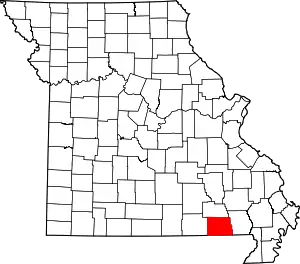 Map of Missouri highlighting Ripley County | |
| Townships | ||
| CDPs | ||
| Other unincorporated communities | ||
| Ghost towns | ||
| Footnotes | ‡This populated place also has portions in an adjacent county or counties | |
This article is issued from Wikipedia. The text is licensed under Creative Commons - Attribution - Sharealike. Additional terms may apply for the media files.