Ellenvale, Nova Scotia
Ellenvale is a mostly residential neighbourhood in the Dartmouth area of Halifax Regional Municipality, Nova Scotia. It is located in the east end of Dartmouth in the Woodlawn area.
Ellenvale | |
|---|---|
Location within Dartmouth | |
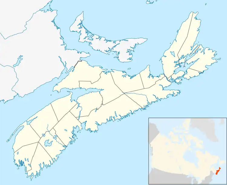
 Location within Nova Scotia | |
| Coordinates: 44°40′37″N 63°31′24″W | |
| Country | |
| Province | |
| Municipality | Halifax Regional Municipality |
| Community | Dartmouth |
| Community council | Harbour East - Marine Drive Community Council |
| District | 6 - Harbourview - Burnside - Dartmouth East |
| Area | |
| • Total | 0.81 km2 (0.31 sq mi) |
| Postal code | B2W |
| Area code | 902 |
| GNBC code | CALFE |
History
Along with other residential subdivisions in the Woodlawn area, the Ellenvale subdivision was established in the mid-1950s. By 1955, 400 building lots had been set aside.[2]
In 1967, Ellenvale Junior High School was established, followed by Brookhouse Elementary School in the subsequent year.[3]
Geography
Ellenvale is a relatively small neighbourhood of 81 ha (200 acres).[4]
References
- "Halifax Regional Municipality Urban Forest Master Plan" (PDF). halifax.ca. Government of the Municipality of Halifax. Retrieved 14 July 2021.
- Chapman, Harry (2001). In the wake of the Alderney : Dartmouth, Nova Scotia, 1750-2000. Dartmouth Historical Association (2nd ed.). [Dartmouth, N.S.]: Dartmouth Historical Association. pp. 364–365. ISBN 1-55109-374-X. OCLC 48398897.
- Chapman, Harry (2001). In the wake of the Alderney : Dartmouth, Nova Scotia, 1750-2000. Dartmouth Historical Association (2nd ed.). [Dartmouth, N.S.]: Dartmouth Historical Association. p. 403. ISBN 1-55109-374-X. OCLC 48398897.
- "Halifax Regional Municipality Urban Forest Master Plan" (PDF). halifax.ca. Government of the Municipality of Halifax. Retrieved 14 July 2021.
This article is issued from Wikipedia. The text is licensed under Creative Commons - Attribution - Sharealike. Additional terms may apply for the media files.