El Eucaliptus
El Eucaliptus is a caserío (hamlet) in the centre of Paysandú Department, in western Uruguay.
El Eucaliptus | |
|---|---|
Hamlet | |
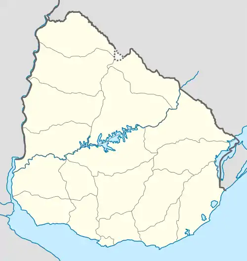 El Eucaliptus Location in Uruguay | |
| Coordinates: 31°54′0″S 57°16′0″W | |
| Country | |
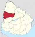
| Department | Paysandú Department |
| Population (2011) | |
| • Total | 197 |
| Time zone | UTC -3 |
| Postal code | 60017 |
| Dial plan | +598 474 (+5 digits) |
Geography
It is located on Route 26, about 100 kilometres (62 mi) northeast of the city of Paysandú.
Population
In 2011 El Eucaliptus had a population of 197.[1]
| Year | Population |
|---|---|
| 1963 | 145 |
| 1975 | 235 |
| 1985 | 176 |
| 1996 | 214 |
| 2004 | 401 |
| 2011 | 197 |
Source: Instituto Nacional de Estadística de Uruguay[2]
References
- "Censos 2011 Paysandú (needs flash plugin)". INE. 2012. Retrieved 31 August 2012.
- "1963–1996 Statistics / E" (DOC). Instituto Nacional de Estadística de Uruguay. 2004. Retrieved 29 June 2011.
This article is issued from Wikipedia. The text is licensed under Creative Commons - Attribution - Sharealike. Additional terms may apply for the media files.