Duntara
Duntara is a town located north west of Catalina, Newfoundland and Labrador. Duntara was an Incorporated Community on October 21, 1961.
Duntara | |
|---|---|
Town | |
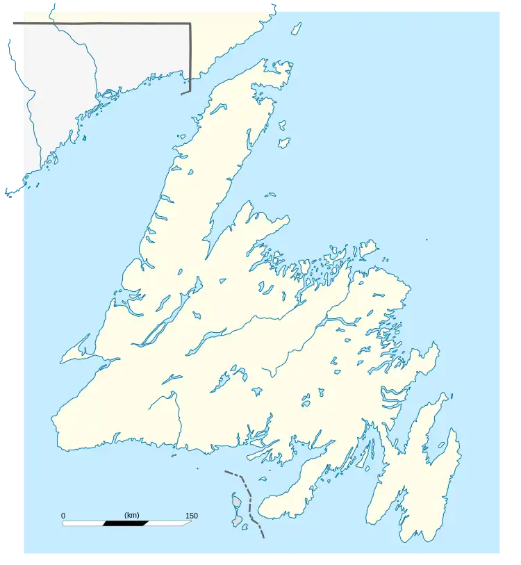 Duntara Location of Duntara in Newfoundland | |
| Coordinates: 48°35′10″N 53°22′52″W | |
| Country | |
| Province | |
| Incorporated | 1961 |
| Population (2021)[1] | |
| • Total | 36 |
| Time zone | UTC-3:30 (Newfoundland Time) |
| • Summer (DST) | UTC-2:30 (Newfoundland Daylight) |
| Area code | 709 |
Demographics
In the 2021 Census of Population conducted by Statistics Canada, Duntara had a population of 36 living in 18 of its 47 total private dwellings, a change of 20% from its 2016 population of 30. With a land area of 17.64 km2 (6.81 sq mi), it had a population density of 2.0/km2 (5.3/sq mi) in 2021.[1]
| Year | Pop. | ±% |
|---|---|---|
| 1991 | 102 | — |
| 1996 | 85 | −16.7% |
| 2001 | 73 | −14.1% |
| 2006 | 72 | −1.4% |
| 2011 | 46 | −36.1% |
| 2016 | 30 | −34.8% |
| 2021 | 36 | +20.0% |
| [2][3] | ||
References
- "Population and dwelling counts: Canada, provinces and territories, census divisions and census subdivisions (municipalities), Newfoundland and Labrador". Statistics Canada. February 9, 2022. Retrieved March 15, 2022.
- "Census Profile, 2016 Census: Duntara, Town [Census subdivision], Newfoundland and Labrador". Statistics Canada. 8 February 2017. Retrieved October 28, 2019.
- "2011 Duntara Community Profile". Statistics Canada. 8 February 2012. Retrieved February 20, 2013.
This article is issued from Wikipedia. The text is licensed under Creative Commons - Attribution - Sharealike. Additional terms may apply for the media files.