Dunatetétlen
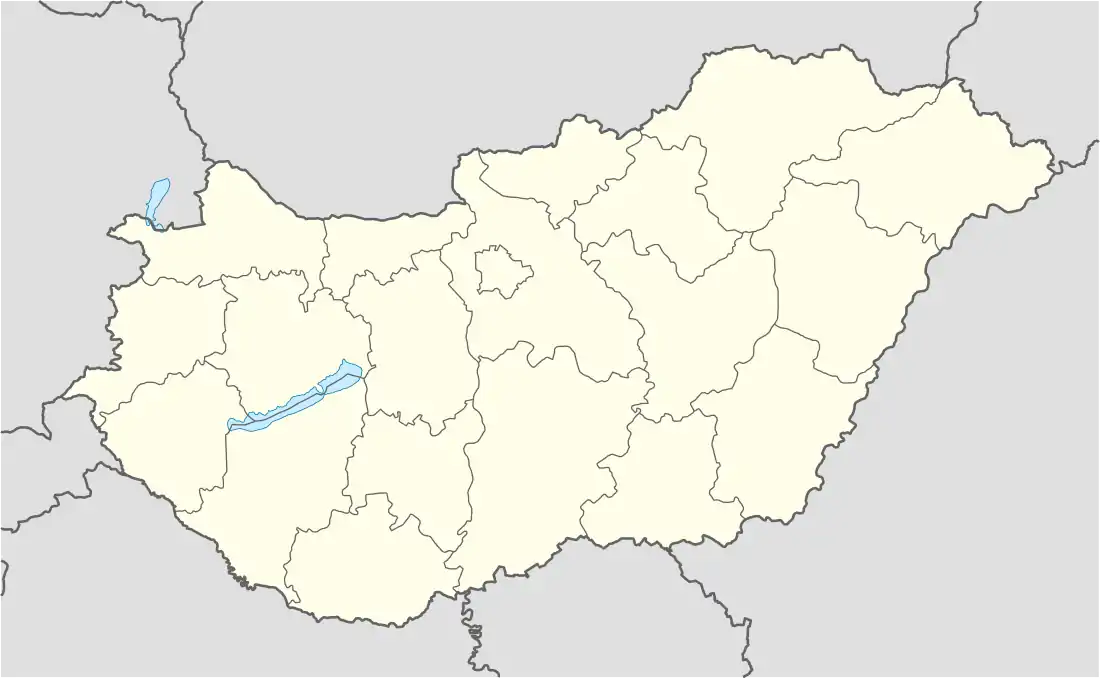
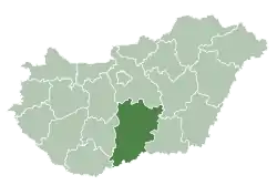
Dunatetétlen (Croatian: Tatilan) is a village in Bács-Kiskun county, in the Southern Great Plain region of Hungary.
Dunatetétlen | |
|---|---|
 Coat of arms | |
 Dunatetétlen | |
| Coordinates: 46°45′N 19°07′E | |
| Country | |
| County | Bács-Kiskun |
| Area | |
| • Total | 43.19 km2 (16.68 sq mi) |
| Population (2015) | |
| • Total | 528[1] |
| • Density | 12.2/km2 (32/sq mi) |
| Time zone | UTC+1 (CET) |
| • Summer (DST) | UTC+2 (CEST) |
| Postal code | 6325 |
| Area code | 78 |
Geography
It covers an area of 4,319 km2 (1,668 sq mi) and has a population of 528 people (2015).[1]
References
- Gazetteer of Hungary, 1 January 2015. Hungarian Central Statistical Office. 3 September 2015
This article is issued from Wikipedia. The text is licensed under Creative Commons - Attribution - Sharealike. Additional terms may apply for the media files.