Drijber
Drijber is a village in the Dutch province of Drenthe. It is a part of the municipality of Midden-Drenthe, and lies about 9 km north of Hoogeveen.
Drijber | |
|---|---|
Village | |
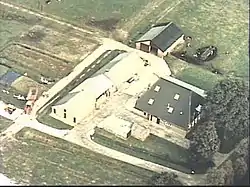 Farm in Drijber | |
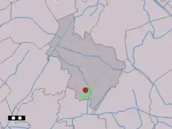 The village (dark red) and the statistical district (light green) of Drijber in the municipality of Midden-Drenthe. | |
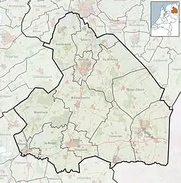 Drijber Location in the Netherlands  Drijber Drijber (Netherlands) | |
| Coordinates: 52°47′30″N 6°32′14″E | |
| Country | Netherlands |
| Province | Drenthe |
| Municipality | Midden-Drenthe |
| Area | |
| • Total | 13.48 km2 (5.20 sq mi) |
| Elevation | 15 m (49 ft) |
| Population (2021)[1] | |
| • Total | 475 |
| • Density | 35/km2 (91/sq mi) |
| Time zone | UTC+1 (CET) |
| • Summer (DST) | UTC+2 (CEST) |
| Postal code | 9419[1] |
| Dialing code | 0593 |
The village was first mentioned in 1217 as Triburd, and means "three neighbourhoods".[3] The area around Drijber was first settled around 300 BC, however it was abandoned around 425.[4]
Drijber was home to 68 people in 1840. In 1928, a little church was built in the village.[4]
References
- "Kerncijfers wijken en buurten 2021". Central Bureau of Statistics. Retrieved 11 April 2022.
- "Postcodetool for 9419TE". Actueel Hoogtebestand Nederland (in Dutch). Het Waterschapshuis. Retrieved 11 April 2022.
- "Drijber - (geografische naam)". Etymologiebank (in Dutch). Retrieved 11 April 2022.
- "Drijber". Plaatsengids (in Dutch). Retrieved 11 April 2022.
Wikimedia Commons has media related to Drijber.
This article is issued from Wikipedia. The text is licensed under Creative Commons - Attribution - Sharealike. Additional terms may apply for the media files.