Dolenice
Dolenice (German: Tullnitz) is a municipality and village in Znojmo District in the South Moravian Region of the Czech Republic. It has about 100 inhabitants.
Dolenice | |
|---|---|
 Main street | |
 Flag  Coat of arms | |
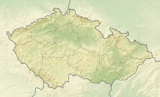 Dolenice Location in the Czech Republic | |
| Coordinates: 48°54′33″N 16°21′56″E | |
| Country | |
| Region | South Moravian |
| District | Znojmo |
| First mentioned | 1046 |
| Area | |
| • Total | 4.47 km2 (1.73 sq mi) |
| Elevation | 227 m (745 ft) |
| Population (2023-01-01)[1] | |
| • Total | 134 |
| • Density | 30/km2 (78/sq mi) |
| Time zone | UTC+1 (CET) |
| • Summer (DST) | UTC+2 (CEST) |
| Postal code | 671 78 |
| Website | www |
Geography
Dolenice is located about 23 kilometres (14 mi) east of Znojmo and 35 km (22 mi) south of Brno. It lies in a flat landscape in the Dyje–Svratka Valley.
History
The first written mention of Dolenice is from 1046.[2]
Demographics
|
|
| ||||||||||||||||||||||||||||||||||||||||||||||||||||||
| Source: Censuses[3][4] | ||||||||||||||||||||||||||||||||||||||||||||||||||||||||
Sights
The most valuable monument is the Chapel of the Exaltation of the Holy Cross. This octagonal Baroque building dates from the end of the 17th century.[5]
References
- "Population of Municipalities – 1 January 2023". Czech Statistical Office. 2023-05-23.
- "Předávání obecních symbolů, 6. 12. 2010" (in Czech). The Chamber of Deputies. 2010-12-06. Retrieved 2022-12-24.
- "Historický lexikon obcí České republiky 1869–2011 – Okres Znojmo" (in Czech). Czech Statistical Office. 2015-12-21. pp. 1–2.
- "Population Census 2021: Population by sex". Public Database. Czech Statistical Office. 2021-03-27.
- "Kaple Pozdvižení sv. Kříže" (in Czech). National Heritage Institute. Retrieved 2022-12-24.
This article is issued from Wikipedia. The text is licensed under Creative Commons - Attribution - Sharealike. Additional terms may apply for the media files.