Dinana Island
Dinana Island is an island in the Louisiade Archipelago in Milne Bay Province, Papua New Guinea.
Nickname: Carry Island | |
|---|---|
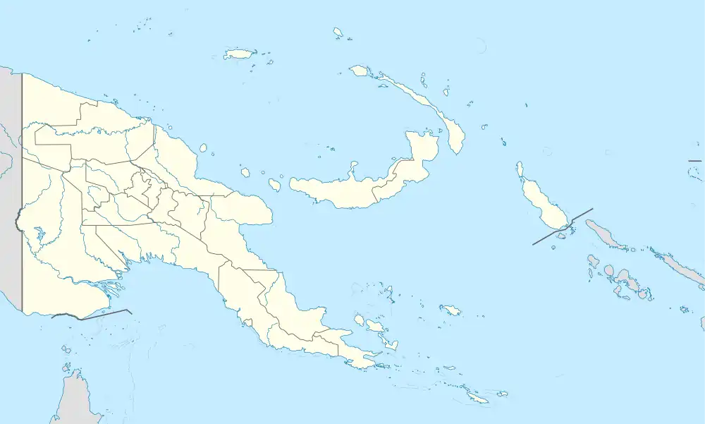 Dinana Island Location within Papua New Guinea | |
| Geography | |
| Location | Oceania |
| Coordinates | 10°35′19″S 150°52′55″E[1] |
| Archipelago | Louisiade Archipelago |
| Adjacent to | Solomon Sea |
| Total islands | 1 |
| Major islands |
|
| Area | 0.9 km2 (0.35 sq mi) |
| Length | 1.5 km (0.93 mi) |
| Width | 0.9 km (0.56 mi) |
| Coastline | 4.8 km (2.98 mi) |
| Administration | |
| Province | |
| Island Group | Samarai Islands |
| Island Group | Sideia Islands |
| Ward | Sekuku |
| Demographics | |
| Population | 0 (2014) |
| Pop. density | 0/km2 (0/sq mi) |
| Ethnic groups | Papauans, Austronesians, Melanesians. |
| Additional information | |
| Time zone | |
| ISO code | PG-MBA |
| Official website | www |
Administration
The island is part of Sekuku Ward. it belongs to Bwanabwana Rural Local Level Government Area LLG, Samarai-Murua District, which are in Milne Bay Province.[2]
Geography
Dinana is located between Sideia Island and Basilaki Island. The island is part of the Sideia group, itself a part of Samarai Islands of the Louisiade Archipelago.[3]
References
- Prostar Sailing Directions 2004 New Guinea Enroute, p. 168
- "LLG map" (PDF). Archived from the original (PDF) on 2010-08-11. Retrieved 2010-08-11.
- "map". Archived from the original on 2016-03-16. Retrieved 2019-11-28.
This article is issued from Wikipedia. The text is licensed under Creative Commons - Attribution - Sharealike. Additional terms may apply for the media files.