Derrinturn
Derrinturn (Irish: Doire an tSoirn, meaning 'oak wood of the furnace')[2] is a village in County Kildare, Ireland. It is part of the parish of Carbury. It is located about 60 km (37 mi) from Dublin.
Derrinturn
Doire an tSoirn | |
|---|---|
Village | |
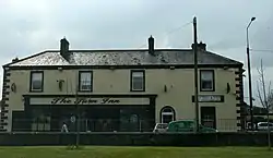 The Turn Inn, Derrinturn | |
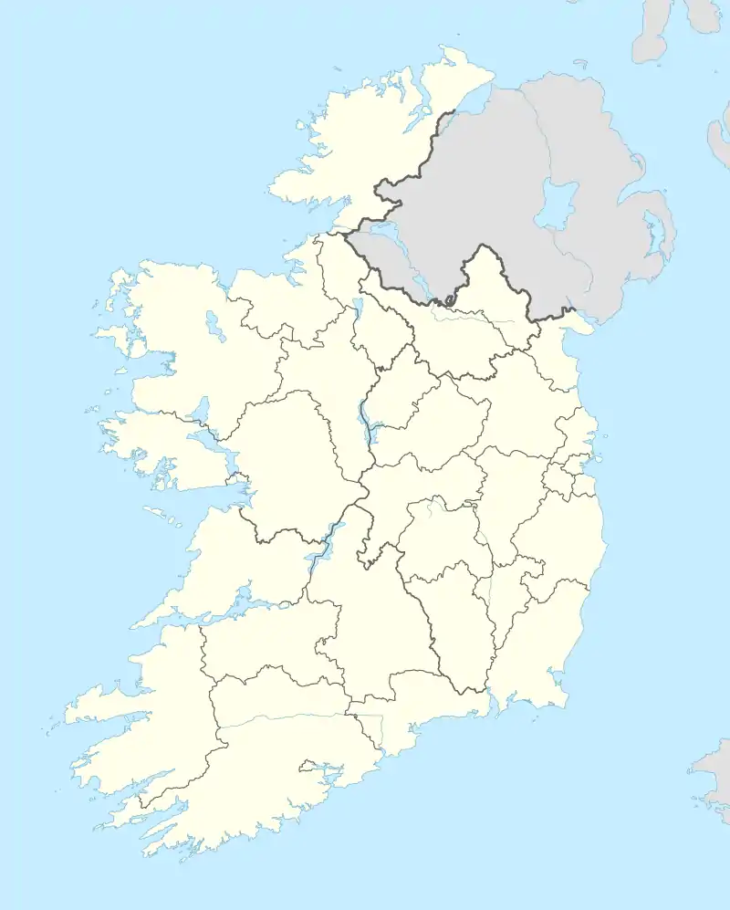 Derrinturn Location in Ireland | |
| Coordinates: 53°20′23″N 6°56′24″W | |
| Country | Ireland |
| Province | Leinster |
| County | County Kildare |
| Area | |
| • Total | 2 km2 (0.8 sq mi) |
| Elevation | 85 m (279 ft) |
| Population | 1,837 |
| Time zone | UTC+0 (WET) |
| • Summer (DST) | UTC-1 (IST (WEST)) |
| Irish Grid Reference | N759266 |
The main road through Derrinturn is the R403 regional road.
The population was 1,837 as of the 2022 census, an increase of 1000% from 1961 when only 183 people lived in the village.[3][1]
Derrinturn has one Roman Catholic church and a primary school St. Conleth's (Naomh Connlaodh).[4]
Derrinturn townland has an area of 132.40 hectares (327.2 acres).[5] It borders the townlands of Ballyhagan to the west, Ballyshannon to the east, Coonagh to the east, Dreenan to the south, Newbury Demesne to the north, and Rathmore to the south.[5]
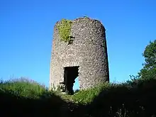
The Windmill, Derrinturn
See also
| Year | Pop. | ±% |
|---|---|---|
| 1961 | 183 | — |
| 1966 | 176 | −3.8% |
| 1981 | 395 | +124.4% |
| 1986 | 528 | +33.7% |
| 1991 | 553 | +4.7% |
| 1996 | 544 | −1.6% |
| 2002 | 799 | +46.9% |
| 2006 | 1,138 | +42.4% |
| 2011 | 1,541 | +35.4% |
| 2016 | 1,602 | +4.0% |
| 2022 | 1,837 | +14.7% |
| [6][3][7][1] | ||
References
- "Interactive Data Visualisations: Towns: Derrinturn". Census 2022. Central Statistics Office. Retrieved 30 September 2023.
- "Doire an tSoirn / Derrinturn". logainm.ie. Placenames Database of Ireland. Retrieved 5 October 2021.
- "Derrinturn (Kildare, All Towns, Ireland) - Population Statistics, Charts, Map, Location, Weather and Web Information".
- "St Conleth's National School". www.stconlethsns.ie. Retrieved 27 March 2019.
- "Derrinturn Townland, Co. Kildare". www.townlands.ie. Retrieved 27 March 2019.
- "Home - CSO - Central Statistics Office".
- "Sapmap Area - Settlements - Derrinturn". Census 2016. CSO. April 2016. Retrieved 6 January 2020.
Wikimedia Commons has media related to Derrinturn.
Places in County Kildare | ||
|---|---|---|
| Towns |  | |
| Villages and Townlands |
| |
| Landforms | ||
| Topics |
| |
This article is issued from Wikipedia. The text is licensed under Creative Commons - Attribution - Sharealike. Additional terms may apply for the media files.