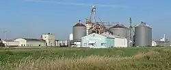
Darr, Nebraska
Darr (also Cayote, Coyote)[1] is an unincorporated community in Dawson County, Nebraska, United States.[1] Darr is located on U.S. Route 30 and Nebraska Highway 21 between Cozad and Lexington. Its elevation is 2,451 feet (747 m). Darr appears on the Cozad USGS map.[1]
Darr, Nebraska | |
|---|---|
 | |
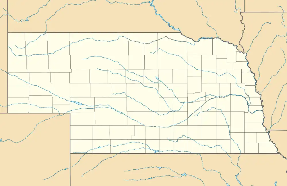 Darr Location within Nebraska  Darr Darr (the United States) | |
| Coordinates: 40°49′15″N 99°53′01″W | |
| Country | United States |
| State | Nebraska |
| County | Dawson |
| Elevation | 2,451 ft (747 m) |
| Time zone | UTC-6 (Central (CST)) |
| • Summer (DST) | UTC-5 (CDT) |
| Area code | 308 |
| GNIS feature ID | 828579[1] |
History
A post office was established at Darr in 1902, and remained in operation until it was discontinued in 1923.[2] The community was named for George B. Darr, the original owner of the town site.[3]
See also
References
- "Darr". Geographic Names Information System. United States Geological Survey, United States Department of the Interior.
- "Dawson County". Jim Forte Postal History. Retrieved August 25, 2014.
- Federal Writers' Project (1938). Origin of Nebraska place names. Lincoln, NE: Works Progress Administration. p. 9.
External links
![]() Media related to Darr, Nebraska at Wikimedia Commons
Media related to Darr, Nebraska at Wikimedia Commons
Municipalities and communities of Dawson County, Nebraska, United States | ||
|---|---|---|
| Cities | Map of Nebraska highlighting Dawson County | |
| Villages | ||
| CDP | ||
| Unincorporated communities | ||
| Former communities | ||
This article is issued from Wikipedia. The text is licensed under Creative Commons - Attribution - Sharealike. Additional terms may apply for the media files.