Danville (CDP), Vermont
Danville is the primary village and a census-designated place (CDP) in the town of Danville, Caledonia County, Vermont, United States. As of the 2020 census, the CDP had a population of 385,[2] out of 2,335 in the entire town of Danville.
Danville, Vermont | |
|---|---|
 Danville  Danville | |
| Coordinates: 44°24′40″N 72°8′23″W | |
| Country | United States |
| State | Vermont |
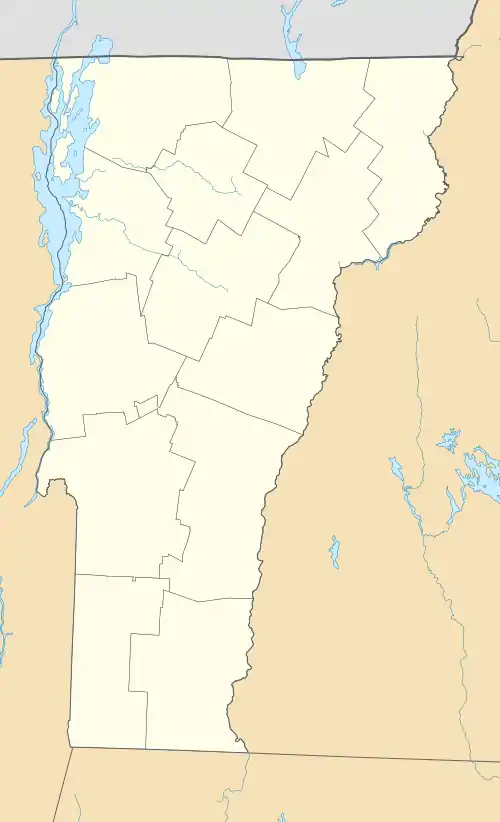
| County | Caledonia |
| Town | Danville |
| Area | |
| • Total | 1.03 sq mi (2.66 km2) |
| • Land | 1.02 sq mi (2.65 km2) |
| • Water | 0.00 sq mi (0.00 km2) |
| Elevation | 1,421 ft (433 m) |
| Population | 385 |
| Time zone | UTC-5 (Eastern (EST)) |
| • Summer (DST) | UTC-4 (EDT) |
| ZIP Code | 05828 |
| Area code | 802 |
| FIPS code | 50-17050 |
| GNIS feature ID | 2586626[3] |
The village is in west-central Caledonia County, south of the center of the town of Danville. U.S. Route 2 passes through the village, leading east 8 miles (13 km) to St. Johnsbury and southwest 27 miles (43 km) to Montpelier, the state capital. The village drains south to Brown Brook, a tributary of Joes Brook, and east to Water Andric. Joes Brook and Water Andric both flow southeast to the Passumpsic River, a south-flowing tributary of the Connecticut River.
References
- "2020 U.S. Gazetteer Files – Vermont". United States Census Bureau. Retrieved October 5, 2021.
- "Danville CDP, Vermont: 2020 DEC Redistricting Data (PL 94-171)". U.S. Census Bureau. Retrieved October 5, 2021.
- "Danville Census Designated Place". Geographic Names Information System. United States Geological Survey, United States Department of the Interior.
Municipalities and communities of Caledonia County, Vermont, United States | ||
|---|---|---|
| Towns | 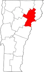 Map of Vermont highlighting Caledonia County | |
| Incorporated villages | ||
| CDPs | ||
| Unincorporated communities | ||
This article is issued from Wikipedia. The text is licensed under Creative Commons - Attribution - Sharealike. Additional terms may apply for the media files.