Dětkovice (Vyškov District)
Dětkovice is a municipality and village in Vyškov District in the South Moravian Region of the Czech Republic. It has about 300 inhabitants.
Dětkovice | |
|---|---|
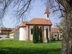 Chapel of Saint Florian | |
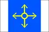 Flag 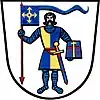 Coat of arms | |
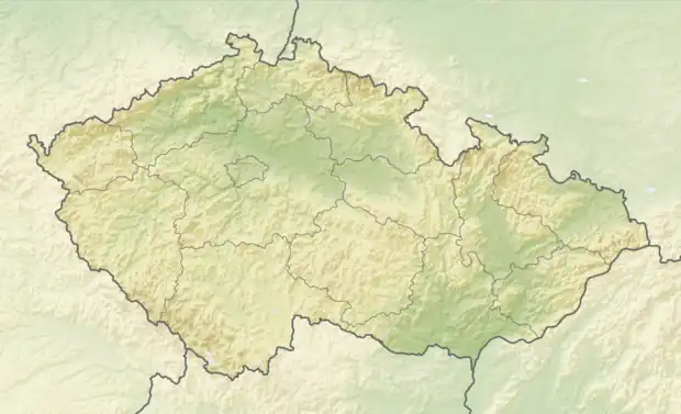 Dětkovice Location in the Czech Republic | |
| Coordinates: 49°16′22″N 17°8′39″E | |
| Country | |
| Region | South Moravian |
| District | Vyškov |
| First mentioned | 1311 |
| Area | |
| • Total | 4.97 km2 (1.92 sq mi) |
| Elevation | 274 m (899 ft) |
| Population (2023-01-01)[1] | |
| • Total | 275 |
| • Density | 55/km2 (140/sq mi) |
| Time zone | UTC+1 (CET) |
| • Summer (DST) | UTC+2 (CEST) |
| Postal code | 683 23 |
| Website | www |
Dětkovice lies approximately 12 kilometres (7 mi) east of Vyškov, 40 km (25 mi) east of Brno, and 217 km (135 mi) south-east of Prague.
This article is issued from Wikipedia. The text is licensed under Creative Commons - Attribution - Sharealike. Additional terms may apply for the media files.