Cordelia, California
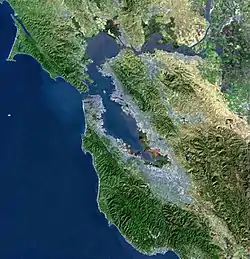
Cordelia is an unincorporated community in Solano County, California, United States.[2] Cordelia is located at the junction of Interstate 80 and California State Route 12 and at the northern end of Interstate 680, 7 miles (11 km) west of Fairfield.

Cordelia | |
|---|---|
 Cordelia  Cordelia | |
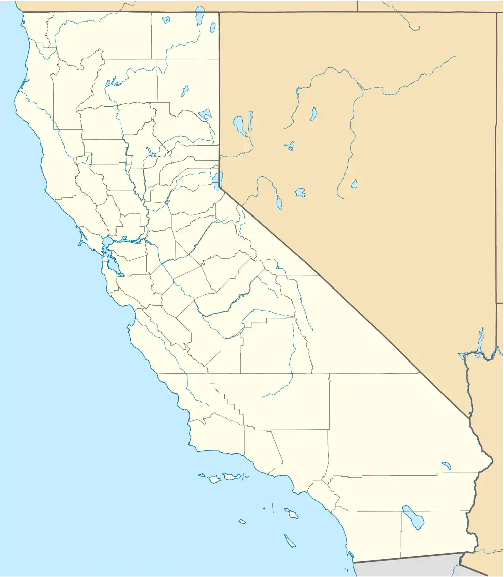
| Coordinates: 38°12′38″N 122°08′09″W | |
| Country | United States |
| State | California |
| County | Solano |
| Metro area | San Francisco Bay Area |
| Elevation | 23 ft (7 m) |
| Time zone | UTC-8 (Pacific (PST)) |
| • Summer (DST) | UTC-7 (PDT) |
| Area code | 707 |
| FIPS code | 06-00951 |
| GNIS feature ID | 218147 |
| U.S. Geological Survey Geographic Names Information System: Cordelia, California | |
History

The community of Cordelia was founded in 1853 by clipper ship captain Robert H. Waterman, and initially named "Bridgeport" after the Atlantic coastal town of Bridgeport, Connecticut.[2] Around 1869, a post office was established, and the United States Post Office Department declared that a more unique name for the town should be chosen.[2] Waterman, who had also chosen Fairfield for the nearest town to honor his former hometown of Fairfield, Connecticut, then chose "Cordelia", after his wife.[2]
In 1880, the Wells Fargo agency was established in Cordelia.[2]

See also
- Cordelia Slough – a 10.8-mile-long (17.4 km) tidal watercourse which discharges to the Suisun Slough, which in turn empties into Grizzly Bay in Solano County, California
References
- U.S. Geological Survey Geographic Names Information System: Cordelia, California
- Gudde, E.G. (1960). California Place Names. University of California Press. p. 74. Retrieved July 16, 2020.
Municipalities and communities of Solano County, California, United States | ||
|---|---|---|
| Cities | 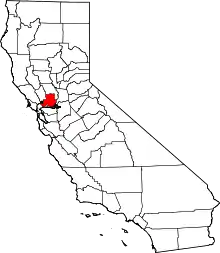 Solano County map | |
| CDPs | ||
| Unincorporated communities | ||
| Ghost town | ||
| Bodies of water |
|  |
|---|---|---|
| Counties | ||
| Major cities | ||
| Cities and towns 100k–250k | ||
| Cities and towns 50k–99k | ||
| Cities and towns 25k–50k | ||
| Cities and towns 10k–25k | ||
| Sub-regions | ||
| Other | ||