Coniolo
Coniolo is a comune (municipality) in the Province of Alessandria in the Italian region Piedmont, located about 50 kilometres (31 mi) east of Turin and about 35 kilometres (22 mi) northwest of Alessandria.
Coniolo | |
|---|---|
| Comune di Coniolo | |
 | |
Location of Coniolo | |
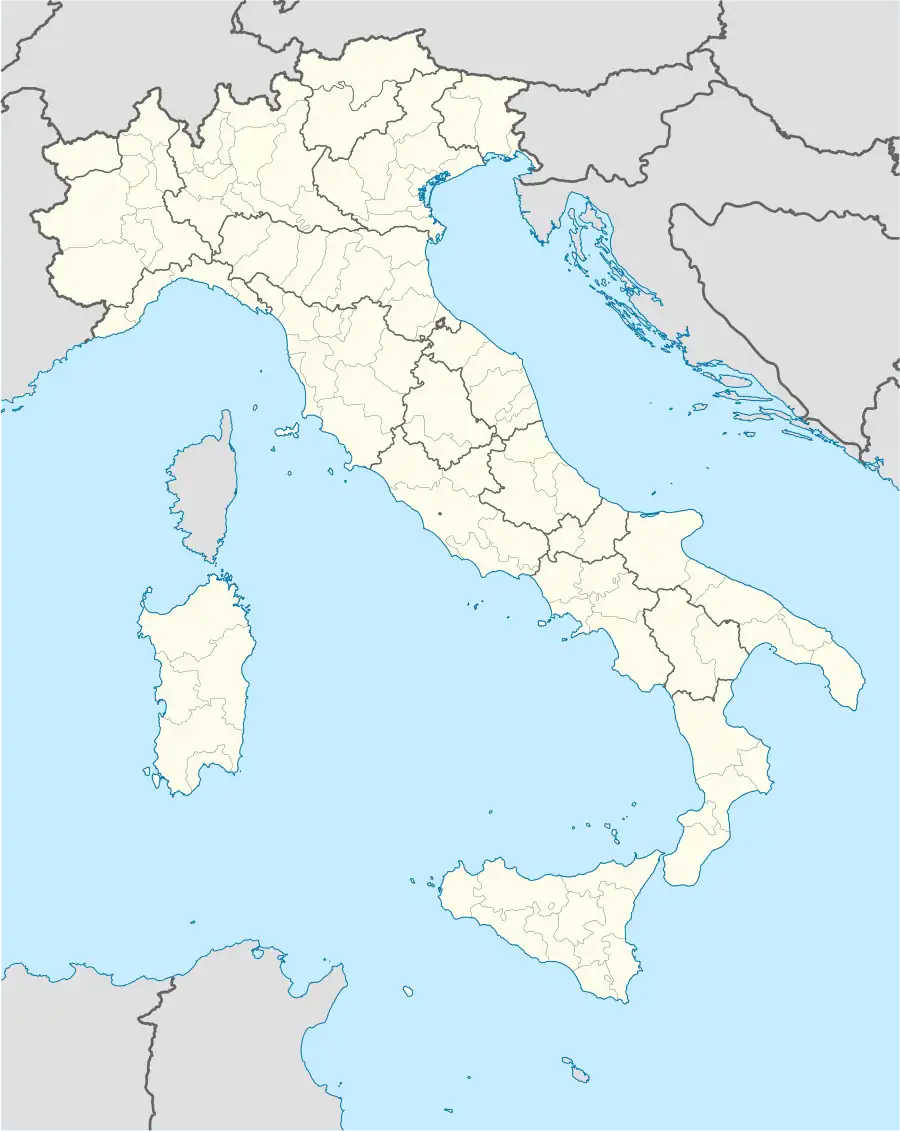 Coniolo Location of Coniolo in Italy 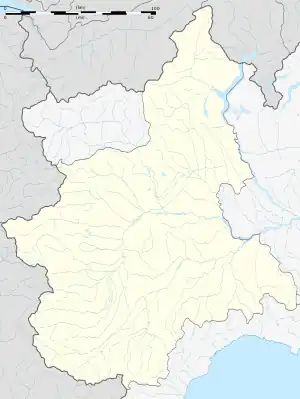 Coniolo Coniolo (Piedmont) | |
| Coordinates: 45°8′57″N 8°22′19″E | |
| Country | Italy |
| Region | Piedmont |
| Province | Province of Alessandria (AL) |
| Government | |
| • Mayor | Giovanni Spinoglio (elected 2004-06-13) |
| Area | |
| • Total | 10.35 km2 (4.00 sq mi) |
| Elevation | 252 m (827 ft) |
| Population (2005)[2] | |
| • Total | 444 |
| • Density | 43/km2 (110/sq mi) |
| Demonym | Coniolesi |
| Time zone | UTC+1 (CET) |
| • Summer (DST) | UTC+2 (CEST) |
| Postal code | 15030 |
| Dialing code | 0142 |
| Patron saint | Santa Maria Assunta |
| Saint day | 15 August |
As of 31 December 2004, it had a population of 440 and an area of 10.3 square kilometres (4.0 sq mi).[3]
Coniolo closest neighbours are:
- to the south and east: Casale Monferrato
- to the north: Morano sul Po
- to the west: Pontestura.
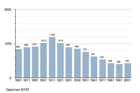
Demographic evolution
References
- "Superficie di Comuni Province e Regioni italiane al 9 ottobre 2011". Italian National Institute of Statistics. Retrieved 16 March 2019.
- "Popolazione Residente al 1° Gennaio 2018". Italian National Institute of Statistics. Retrieved 16 March 2019.
- All demographics and other statistics: Italian statistical institute Istat.
This article is issued from Wikipedia. The text is licensed under Creative Commons - Attribution - Sharealike. Additional terms may apply for the media files.