Claret, Alpes-de-Haute-Provence
Claret (French pronunciation: [klaʁɛ]) is a commune in the Alpes-de-Haute-Provence department in southeastern France.
Claret | |
|---|---|
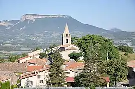 The church and surrounding buildings in Claret | |
 Coat of arms | |
Location of Claret | |
 Claret 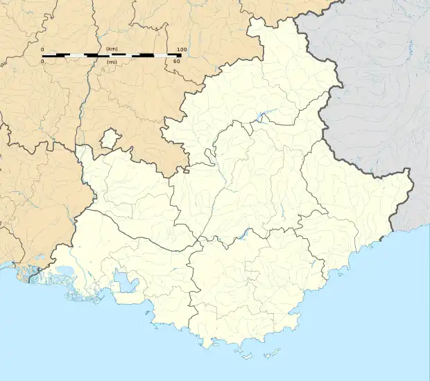 Claret | |
| Coordinates: 44°22′22″N 5°57′23″E | |
| Country | France |
| Region | Provence-Alpes-Côte d'Azur |
| Department | Alpes-de-Haute-Provence |
| Arrondissement | Forcalquier |
| Canton | Seyne |
| Intercommunality | CA Gap-Tallard-Durance |
| Government | |
| • Mayor (2020–2026) | Frédéric Louche[1] |
| Area 1 | 21.04 km2 (8.12 sq mi) |
| Population | 280 |
| • Density | 13/km2 (34/sq mi) |
| Time zone | UTC+01:00 (CET) |
| • Summer (DST) | UTC+02:00 (CEST) |
| INSEE/Postal code | 04058 /05110 |
| Elevation | 528–1,254 m (1,732–4,114 ft) |
| 1 French Land Register data, which excludes lakes, ponds, glaciers > 1 km2 (0.386 sq mi or 247 acres) and river estuaries. | |
Population
|
|
References
- "Répertoire national des élus: les maires". data.gouv.fr, Plateforme ouverte des données publiques françaises (in French). 2 December 2020.
- "Populations légales 2020". The National Institute of Statistics and Economic Studies. 29 December 2022.
Wikimedia Commons has media related to Claret, Alpes-de-Haute-Provence.
This article is issued from Wikipedia. The text is licensed under Creative Commons - Attribution - Sharealike. Additional terms may apply for the media files.