Chilpancingo de los Bravo (municipality)
Chilpancingo de los Bravo is one of the 81 municipalities of Guerrero, in south-western Mexico. The municipal seat is Chilpancingo de los Bravo.
Chilpancingo de los Bravo | |
|---|---|
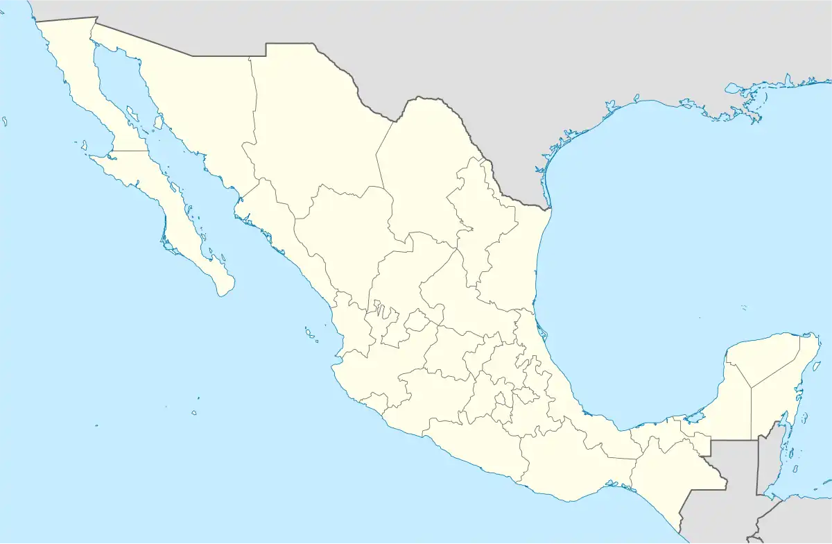 Chilpancingo de los Bravo Location in Mexico | |
| Coordinates: 17°11′N 99°29′W | |
| Country | |
| State | Guerrero |
| Municipal seat | Chilpancingo |
| Government | |
| • Municipal President | Héctor Astudillo Flores(PRI) |
| Area | |
| • Total | 2,338.4 km2 (902.9 sq mi) |
| Population (2005) | |
| • Total | 214,219 |
Geography
The municipality is within the Sierra Madre del Sur mountain range. It covers an area of 2,338.4 square kilometres (902.9 sq mi).
As of 2005, the municipality had a total population of 214,219.[1]
Towns and villages
The municipality has 114 localities. The largest are as follows:
| Locality | Population |
|---|---|
| Total Municipio | 214,219 |
| Chilpancingo de los Bravo | 166,796 |
| Petaquillas | 7,627 |
| Ocotito | 6,212 |
| Mazatlán | 4,599 |
| Jaleaca de Catalán[lower-alpha 1] | 2,578 |
| Palo Blanco | 2,288 |
| Julián Blanco | 1,956 |
Administration
References
- Jaleaca became Jaleaca de Catalán by decree 15 of 3 June 1889 in honour of the brave offer of Antonia Nava de Catalán in offering to sacrifice herself during the Mexican War of Independence.[2]
- "Chilpancingo de los Bravo". Enciclopedia de los Municipios de México. Instituto Nacional para el Federalismo y el Desarrollo Municipal. Archived from the original on May 10, 2007. Retrieved December 23, 2008.
- Acuña Cepeda, Mirtea Elizabeth (19 November 2017), "Antonia Nava de Catalán, la Generala", Ecos de la Costa (in Spanish), archived from the original on 1 December 2017, retrieved 2017-11-28
This article is issued from Wikipedia. The text is licensed under Creative Commons - Attribution - Sharealike. Additional terms may apply for the media files.