Chelatchie, Washington
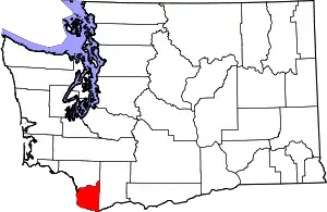
Chelatchie is an unincorporated community in Clark County, Washington.
Chelatchie | |
|---|---|
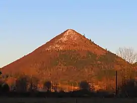
 Tumtum Mountain, visible from Chelatchie | |
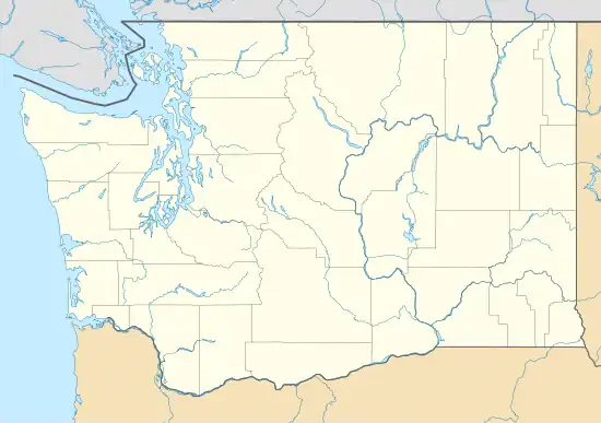
 Chelatchie Location within the state of Washington  Chelatchie Chelatchie (the United States) | |
| Coordinates: 45°55′40.4″N 122°22′46.35″W | |
| Country | United States |
| State | Washington |
| County | Clark |
| Elevation | 443 ft (135 m) |
| Time zone | UTC-8 (Pacific (PST)) |
| • Summer (DST) | UTC-7 (PDT) |
| Area code | 360 |
| GNIS feature ID | 1517654[1] |
Chelatchie is located about 30 miles northeast of Vancouver, Washington in the Chelatchie Prairie (or Chelatchie Valley) area, and consists of several homes, a general store, and a United States Forest Service visitor's center for the Mount St. Helens Volcanic National Monument. It is one of the more remote communities on Washington State Route 503, and serves as a gateway into the Siouxon Creek area of the Gifford Pinchot National Forest.
History
The area was first settled around 1860, and was among the first settlements in the area.[2] The name was derived from "ch'álacha,"[3] a Klickitat word describing a valley with tall ferns.[4]
The Chelatchie Prairie Railroad was extended to the area in 1948, with the International Paper Company opening a plywood mill at the end of the line in 1960,[5] which operated until 1979.
References
- U.S. Geological Survey Geographic Names Information System: Chelatchie
- "Chelatchie Prairie". Clark History. The Columbian. Retrieved October 15, 2019.
- Hunn, Eugene (October 11, 2003). Anthropological Study of Yakama Tribe: Traditional Resource Harvest Sites West of the Crest of the Cascades Mountains in Washington State and below the Cascades of the Columbia River (PDF). University of Washington Dept of Anthropology. p. 64. Retrieved October 21, 2019.
- Emerick, Roberta. "Northern Clark County". Legacy Washington. Retrieved October 15, 2019.
- "History of the Chelatchie Prairie RR". Chelatchie Prairie RR. Retrieved October 15, 2019.
