Carrizo, Arizona
Carrizo (Western Apache: Gaadisóh) is a census-designated place in Gila County, Arizona, United States, located on the Fort Apache Indian Reservation.
Carrizo, Arizona | |
|---|---|
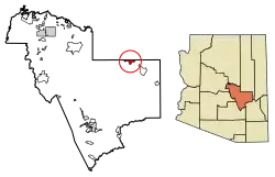 Location of Carrizo in Gila County, Arizona. | |
 Carrizo  Carrizo | |
| Coordinates: 33°59′38″N 110°17′19″W | |
| Country | United States |
| State | Arizona |
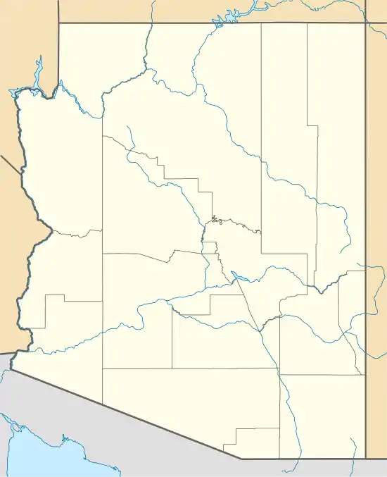
| County | Gila |
| Area | |
| • Total | 9.05 sq mi (23.44 km2) |
| • Land | 9.03 sq mi (23.39 km2) |
| • Water | 0.02 sq mi (0.06 km2) |
| Elevation | 4,918 ft (1,499 m) |
| Population (2020) | |
| • Total | 92 |
| • Density | 10.19/sq mi (3.93/km2) |
| Time zone | UTC-7 (Mountain (MST)) |
| ZIP code | 85542[2] |
| Area code | 928 |
| GNIS feature ID | 2481 |
The community's name is Spanish for "reeds" and is likely derived from the Carrizo band of Apache.[3]
History
It was the location of, or the nearest community to, the Black River Bridge (Carrizo, Arizona), which is listed on the National Register of Historic Places.[4][5]
Carrizo's population was 25 in the 1960 census.[6]
Demographics
| Census | Pop. | Note | %± |
|---|---|---|---|
| 1960 | 25 | — | |
| 2020 | 92 | — | |
| U.S. Decennial Census[7] | |||
As of the 2010 Census, its population was 127, of which 125 were Native American.[8]
Transportation
The White Mountain Apache Tribe operates the Fort Apache Connection Transit, which provides local bus service.[9]
References
- "2020 U.S. Gazetteer Files". United States Census Bureau. Retrieved October 29, 2021.
- "Carrizo AZ ZIP Code". zipdatamaps.com. 2023. Retrieved May 3, 2023.
- "Carrizo". Geographic Names Information System. United States Geological Survey, United States Department of the Interior.
- "National Register Information System". National Register of Historic Places. National Park Service. July 9, 2010.
- Vehicular Bridges in Arizona MPS
- "Arizona". World Book Encyclopedia. Vol. A. Chicago: Field Enterprises Educational Corporation. 1960. p. 557.
- "Census of Population and Housing". Census.gov. Retrieved June 4, 2016.
- "U.S. Census website". United States Census Bureau. Retrieved May 14, 2011.
- "Tribal Transportation | WMAT DOT". WMAT DOT. Retrieved February 3, 2020.
Municipalities and communities of Gila County, Arizona, United States | ||
|---|---|---|
| City | 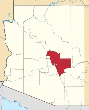 | |
| Towns | ||
| CDPs |
| |
| Populated places | ||
| Indian reservations | ||
| Ghost towns | ||
| Footnotes | ‡This populated place also has portions in an adjacent county or counties | |
This article is issued from Wikipedia. The text is licensed under Creative Commons - Attribution - Sharealike. Additional terms may apply for the media files.