Burpee and Mills
Burpee and Mills is a township in the Canadian province of Ontario. It was formed on January 1, 1998, through the annexation of the unorganized geographic township of Mills by Burpee Township.
Burpee and Mills | |
|---|---|
| Township of Burpee and Mills | |
 | |
 Burpee and Mills 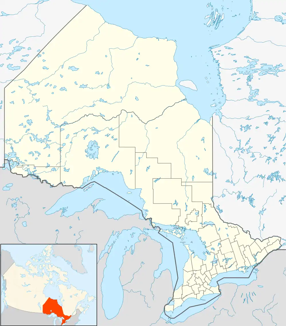 Burpee and Mills | |
| Coordinates: 45°47′N 82°34′W | |
| Country | Canada |
| Province | Ontario |
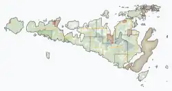
| District | Manitoulin |
| Formed | January 1, 1998 |
| Government | |
| • Type | Township |
| • Reeve | Ken Noland |
| • MP | Carol Hughes (NDP) |
| • MPP | Michael Mantha (NDP) |
| Area | |
| • Land | 218.48 km2 (84.36 sq mi) |
| Population (2016)[2] | |
| • Total | 343 |
| • Density | 1.6/km2 (4/sq mi) |
| Time zone | UTC-5 (EST) |
| • Summer (DST) | UTC-4 (EDT) |
| Postal code | P0P 1H0 |
| Area code(s) | 705, 249 |
| Website | www |
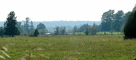
Located in the Manitoulin District, the township had a population of 343 in the 2016 Canadian census. Industries include tourism, agriculture, aquaculture, and logging.
Communities
The township comprises the communities of Burpee, Elizabeth Bay, Evansville and Poplar.
Demographics
In the 2021 Census of Population conducted by Statistics Canada, Burpee and Mills had a population of 382 living in 167 of its 292 total private dwellings, a change of 11.4% from its 2016 population of 343. With a land area of 217.33 km2 (83.91 sq mi), it had a population density of 1.8/km2 (4.6/sq mi) in 2021.[3]
| 2021 | 2016 | 2011 | |
|---|---|---|---|
| Population | 382 (+11.4% from 2016) | 343 (+11.4% from 2011) | 308 (-6.4% from 2006) |
| Land area | 217.33 km2 (83.91 sq mi) | 218.48 km2 (84.36 sq mi) | 218.48 km2 (84.36 sq mi) |
| Population density | 1.8/km2 (4.7/sq mi) | 1.6/km2 (4.1/sq mi) | 1.4/km2 (3.6/sq mi) |
| Median age | 58.0 (M: 58.0, F: 59.2) | 54.8 (M: 53.6, F: 55.6) | |
| Private dwellings | 292 (total) 167 (occupied) | 274 (total) | 255 (total) |
| Median household income | $61,600 | $56,192 |
| Year | Pop. | ±% |
|---|---|---|
| 2001 | 362 | — |
| 2006 | 329 | −9.1% |
| 2011 | 308 | −6.4% |
| 2016 | 343 | +11.4% |
| [9][1][2] | ||
See also
References
- "Burpee and Mills census profile". 2011 Census of Population. Statistics Canada. Retrieved 2012-02-24.
- "Census Profile, 2016 Census: Burpee and Mills, Township". Statistics Canada. 8 February 2017. Retrieved June 20, 2019.
- "Population and dwelling counts: Canada, provinces and territories, census divisions and census subdivisions (municipalities), Ontario". Statistics Canada. February 9, 2022. Retrieved April 2, 2022.
- "2021 Community Profiles". 2021 Canadian Census. Statistics Canada. February 4, 2022. Retrieved 2023-10-19.
- "2016 Community Profiles". 2016 Canadian Census. Statistics Canada. August 12, 2021. Retrieved 2019-06-20.
- "2011 Community Profiles". 2011 Canadian Census. Statistics Canada. March 21, 2019. Retrieved 2012-02-24.
- "2006 Community Profiles". 2006 Canadian Census. Statistics Canada. August 20, 2019.
- "2001 Community Profiles". 2001 Canadian Census. Statistics Canada. July 18, 2021.
- Statistics Canada: 2001, 2006 census
External links
Places adjacent to Burpee and Mills | ||||||||||||||||
|---|---|---|---|---|---|---|---|---|---|---|---|---|---|---|---|---|
| ||||||||||||||||