Breezand
Breezand is a village in the Dutch province of North Holland. It is a part of the municipality of Hollands Kroon, which is known for its flower bulbs, and lies about 7 km southeast of Den Helder.
Breezand | |
|---|---|
Village | |
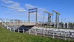 Railway bridge near Breezand | |
 Breezand Location in the Netherlands 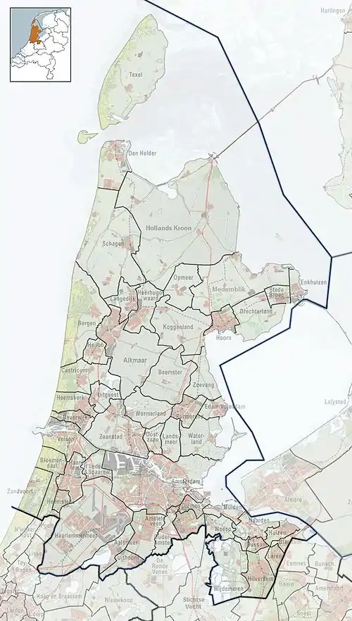 Breezand Location in the province of North Holland in the Netherlands | |
| Coordinates: 52°53′N 4°48′E | |
| Country | Netherlands |
| Province | North Holland |
| Municipality | Hollands Kroon |
| Area | |
| • Total | 18.23 km2 (7.04 sq mi) |
| Elevation | −0.3 m (−1.0 ft) |
| Population (2021)[1] | |
| • Total | 3,780 |
| • Density | 210/km2 (540/sq mi) |
| Time zone | UTC+1 (CET) |
| • Summer (DST) | UTC+2 (CEST) |
| Postal code | 1764[1] |
| Dialing code | 0223 |
Overview
The village was first mentioned in 1665 as Breesant, and means "wide sand" which refers to a former shoal to the north-east of Wieringen.[3] The polder in which Breezand was built, was created in 1847. In 1931, the Catholic St John Evangelist Church was inaugurated.[4] In 1914, a railway station opened on the Amsterdam to Den Helder railway line. It closed in 1938.[5]
Gallery
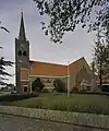 St John Evangelist Church
References
- "Kerncijfers wijken en buurten 2021". Central Bureau of Statistics. Retrieved 30 April 2022.
- "Postcodetool for 1764AA". Actueel Hoogtebestand Nederland (in Dutch). Het Waterschapshuis. Retrieved 30 April 2022.
- "Breezand - (geografische naam)". Etymologiebank (in Dutch). Retrieved 30 April 2022.
- "Breezand". Plaatsengids (in Dutch). Retrieved 30 April 2022.
- "stopplaats Breezand". Stationsweb (in Dutch). Retrieved 30 April 2022.
Wikimedia Commons has media related to Breezand.
This article is issued from Wikipedia. The text is licensed under Creative Commons - Attribution - Sharealike. Additional terms may apply for the media files.