Boiling Point, California
Boiling Point is an unincorporated community located in the Antelope Valley of the Mojave Desert, in northern Los Angeles County, California.[1]
Boiling Point | |
|---|---|
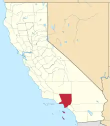
 Boiling Point Location within the State of California  Boiling Point Boiling Point (the United States) | |
| Coordinates: 34°31′20″N 118°15′44″W | |
| Country | United States |
| State | California |
| County | Los Angeles |
| Elevation | 3,163 ft (964 m) |
| Time zone | UTC-8 (Pacific (PST)) |
| • Summer (DST) | UTC-7 (PDT) |
| GNIS feature ID | 1660355[1] |
The settlement is located along the Sierra Highway, 12 mi (19 km), west of Palmdale.
Ritter Ranch Park, a multi-purpose recreational area, is located north of the settlement along Boiling Point Road.[2]
References
- "Boiling Point". Geographic Names Information System. United States Geological Survey, United States Department of the Interior.
- "Ritter Ranch". LAMountains.com. Archived from the original on March 3, 2016. Retrieved February 1, 2016.
This article is issued from Wikipedia. The text is licensed under Creative Commons - Attribution - Sharealike. Additional terms may apply for the media files.
