Bijeljevina Orahovička
Bijeljevina Orahovička is a village in north-eastern Slavonia, situated in municipality town of Orahovica, Virovitica-Podravina County, Croatia.
Bijeljevina Orahovička | |
|---|---|
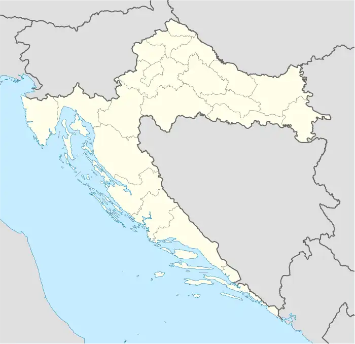 Bijeljevina Orahovička Location of Bijeljevina Orahovička within Croatia | |
| Coordinates: 45°34′N 17°54′E | |
| Country | |
| County | |
| Area | |
| • Total | 5.5 km2 (2.1 sq mi) |
| Elevation | 0 m (0 ft) |
| Population (2021)[2] | |
| • Total | 11 |
| • Density | 2.0/km2 (5.2/sq mi) |
| Time zone | UTC+1 (CET) |
| • Summer (DST) | UTC+2 (CEST) |
| Postal code | 33515 Orahovica |
| Area code | 033 |
Population
| Bijeljevina Orahovička | ||||||
| year of census | 2001 | 1991 | 1981 | 1971 | 1961 | |
| Croats | 23 (63.88%) | 18 (41.86%) | 74 (48.36%) | 91 (80.53%) | 126 (90.64%) | |
| Serbs | 7 (19.44%) | 8 (18.60%) | 30 (19.60%) | 5 (4.42%) | 7 (5.03%) | |
| Yugoslavs | 0 | 7 (16.27%) | 46 (30.06%) | 0 | 0 | |
| others and unknown | 6 (16.66%) | 10 (23.25%) | 3 (1.96%) | 17 (15.04%) | 6 (4.31%) | |
| total | 36 | 43 | 153 | 113 | 139 | |
In 1991 census, parts of Bijeljevina Orahovička settlement are separated, and became parts of settlements Čačinci and Duga Međa.
References
- Register of spatial units of the State Geodetic Administration of the Republic of Croatia. Wikidata Q119585703.
- "Population by Age and Sex, by Settlements, 2021 Census". Census of Population, Households and Dwellings in 2021. Zagreb: Croatian Bureau of Statistics. 2022.
- CD-rom: "Naselja i stanovništvo RH od 1857-2001. godine", Izdanje Državnog zavoda za statistiku Republike Hrvatske, Zagreb, 2005.
This article is issued from Wikipedia. The text is licensed under Creative Commons - Attribution - Sharealike. Additional terms may apply for the media files.