Beinsdorp
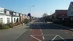
Beinsdorp (Dutch pronunciation: [ˈbɛinzdɔr(ə)p]) is a village in the Dutch province of North Holland. It is a part of the municipality of Haarlemmermeer, and lies about 7 kilometres (4.3 mi) southwest of Hoofddorp along the Ringvaart, adjacent to Hillegom. Beinsdorp is named after a former island in the former Haarlemmer Lake.[3]
Beinsdorp | |
|---|---|
Village | |
 | |
 Beinsdorp Location in the Netherlands 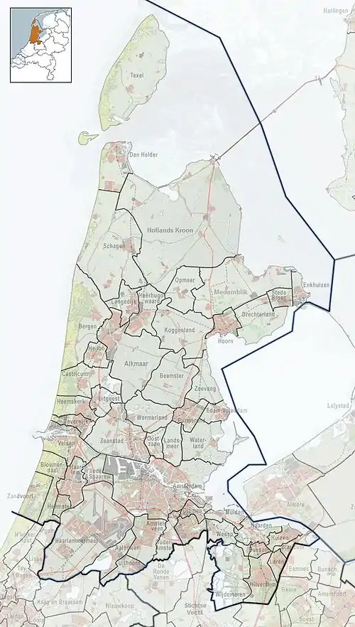 Beinsdorp Location in the province of North Holland in the Netherlands | |
| Coordinates: 52°17′N 4°35′E | |
| Country | Netherlands |
| Province | North Holland |
| Municipality | Haarlemmermeer |
| Area | |
| • Total | 2.41 km2 (0.93 sq mi) |
| Elevation | −3.2 m (−10.5 ft) |
| Population (2021)[1] | |
| • Total | 995 |
| • Density | 410/km2 (1,100/sq mi) |
| Time zone | UTC+1 (CET) |
| • Summer (DST) | UTC+2 (CEST) |
| Postal code | 2144[1] |
| Dialing code | 0252 |
The village was first mentioned in 1851 as Beinsdorp, and means "Ben's village".[3]
Gallery
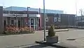 Village house
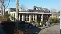 Restaurant in Beinsdorp
References
- "Kerncijfers wijken en buurten 2021". Central Bureau of Statistics. Retrieved 30 April 2022.
- "Postcodetool for 2144KA". Actueel Hoogtebestand Nederland (in Dutch). Het Waterschapshuis. Retrieved 30 April 2022.
- "Beinsdorp - (geografische naam)". Etymologiebank (in Dutch). Retrieved 30 April 2022.
This article is issued from Wikipedia. The text is licensed under Creative Commons - Attribution - Sharealike. Additional terms may apply for the media files.