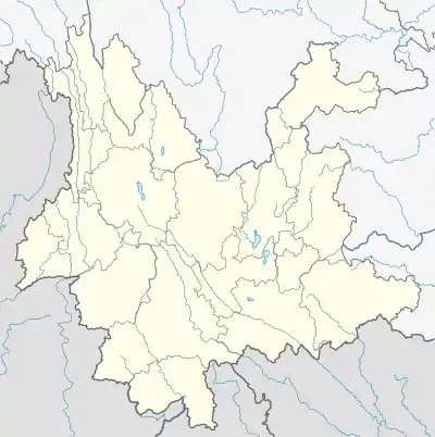
Baohua, Nanjian County
Baohua (simplified Chinese: 宝华镇; traditional Chinese: 寶華鎮; pinyin: Bǎohuá Zhèn) is a town in Nanjian Yi Autonomous County, Yunnan, China. As of the 2020 census it had a population of 31,566 and an area of 215.2-square-kilometre (83.1 sq mi).
Baohua Town
宝华镇 | |
|---|---|
 Baohua Town Location in Yunnan. | |
| Coordinates: 24°54′34″N 100°29′22″E | |
| Country | People's Republic of China |
| Province | Yunnan |
| Autonomous prefecture | Dali Bai Autonomous Prefecture |
| Autonomous county | Nanjian Yi Autonomous County |
| Designated (town) | 1988 |
| Area | |
| • Total | 215.2 km2 (83.1 sq mi) |
| Population (2020) | |
| • Total | 31,566 |
| • Density | 150/km2 (380/sq mi) |
| Time zone | UTC+08:00 (China Standard) |
| Postal code | 675706 |
| Area code | 0872 |
Administrative division
As of 2018, the town is divided into ten villages:
- Baohua (宝华村)
- Yunhua (云华村)
- Meixing (美星村; 'Beautiful Star')
- Tujie (兔街村; 'Rabbit Street')
- Guangle (光乐村)
- Baizhu (白竹村; 'White Bamboo')
- Yongzheng (拥政村)
- Xiaotieyao (小铁窑村; 'Little Iron Kiln')
- Hujie (虎街村; 'Tiger Street')
- Wuliang (无量村)
History
During the Great Leap Forward, it known as "Baohua Commune" (宝华公社). It was upgraded to a town in 1988.
Geography
The town is situated at eastern Nanjian Yi Autonomous County. The town is bordered to the north by Nanjian Town, to the east by Midu County and Wuliangshan Town, to the south by Gonglang Town, and to the west by Yongcui Township.[1]
The highest point in the town is Baju Mountain (巴苴山) which stands 2,693 metres (8,835 ft) above sea level. The lowest point is the river valley of Stone Cave Temple (石洞寺河谷地), which, at 1,730 metres (5,680 ft) above sea level.[1]
The Dalongtan Reservoir (大龙潭水库; 'Grand Dragon Pool Reservoir') is located in the town.
The town experiences a subtropical monsoon climate, with an average annual temperature of 18.7 °C (65.7 °F), total annual rainfall of 957.8-millimetre (37.71 in), and annual average sunshine hours in 2296.1 hours.[1]
Economy
The principal industries in the area are agriculture.[2] Tobacco, walnut, bean are the economic plants of this region.[2] Food crops are mainly rice, wheat, and barley.[2] The region abounds with iron and copper.[2]
Demographics
| Year | Pop. | ±% |
|---|---|---|
| 2005 | 30,447 | — |
| 2017 | 31,435 | +3.2% |
| 2020 | 31,566 | +0.4% |
| Source: [2] | ||
As of 2020, the National Bureau of Statistics of China estimates the town's population now to be 31,566.[1]
Tourist attractions
The Stone Cave Temple (石洞寺) is a Buddhist temple located in the town, it was originally built in late Ming (1368–1644) and early Qing dynasties (1644–1911).[3]
Transportation
The National Highway G214 passes across the town north to south.
The S37 Hu-Ning Expressway is a north–south highway passing through the western town.
References
- 南涧县宝华镇基本情况 [Basic situation of Baohua Town]. zgnj.gov.cn (in Chinese). 12 January 2021. Retrieved 14 January 2021.
- A Huaicong 2008, p. 47.
- A Huaicong 2008, p. 53.
Bibliography
- A Huaicong, ed. (2008). "Administrative divisions" 行政区划. 《南涧彝族自治县概况》 [General Situation of Nanjian Yi Autonomous County] (in Chinese). Beijing: Nationalities Publishing House. ISBN 978-7-105-08580-4.