Bangkalan Regency
Bangkalan Regency is a regency (Indonesian: kabupaten) of East Java province in Indonesia. The seat of its government is the town of Bangkalan. The regency is located on the west side of Madura Island, bordering with Sampang Regency to the east, Java Sea to the north and Madura Strait to the west and the south sides. It covers an area of 1,260.14 km2, and had a population of 906,761 at the 2010 census[2] (an increase from 805,048 at the previous census in 2000) and reached 1,060,377 at the 2020 census;[3] the official estimate as at mid 2022 was 1,086,620 – comprising 535,522 males and 551,098 females.[1]
Bangkalan Regency
Kabupaten Bangkalan | |
|---|---|
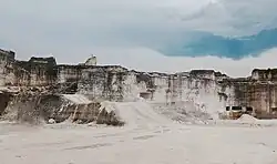 Bukit Jaddih | |
 Coat of arms | |
| Motto(s): Cipta Indra Çakti Dharma (Successful efforts by the grace of God) | |
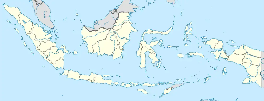
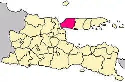 Location within East Java | |
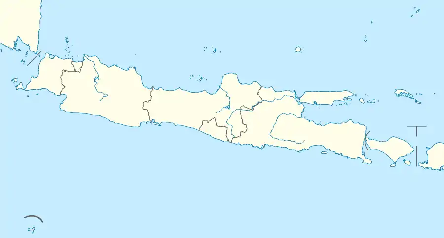
Interactive map outlining Bangkalan Regency | |
| Coordinates: 7°03′S 112°56′E | |
| Country | |
| Province | |
| Capital | Bangkalan |
| Government | |
| • Acting Regent | Mohni |
| Area | |
| • Total | 1,260.14 km2 (486.54 sq mi) |
| Population (mid 2022 estimate)[1] | |
| • Total | 1,086,620 |
| • Density | 860/km2 (2,200/sq mi) |
| Time zone | UTC+7 (Indonesia Western Time) |
| Area code | (+62) 31 |
| Website | bangkalankab |
In 2009, the Suramadu Bridge was completed, being the first (toll) bridge ever to connect Java and Madura islands. The Suramadu Bridge is the longest bridge in Indonesia. Previously, Kamal port was the main gateway between Madura island and Java, where ferries serve the port with the Ujung port nearby Surabaya, but nowadays people prefer to travel across the toll bridge than using ferries, so now only a few ferries serve it in day time only.
Bangkalan Regency is included in the Gerbangkertosusila development region, an extension of the Surabaya metropolitan area.
Administrative Districts
Bangkalan Regency consists of eighteen districts (Indonesian: kecamatan), tabulated below with their areas and their populations at the 2010 census[2] and the 2020 census,[3] together with the official estimates as at mid 2022 (to the nearest 100 persons).[1] The table also includes the locations of the district administrative centres, the number of administrative villages in each district (totaling 273 rural desa and 8 urban kelurahan), and its postcode.
| Name of District (kecamatan) | Area in km2 | Pop'n 2010 census | Pop'n 2020 census | Pop'n mid 2022 estimate |
Admin centre | No. of villages | Post code |
|---|---|---|---|---|---|---|---|
| Kamal | 41.40 | 45,942 | 48,763 | 49,000 | Banyuajuh | 10 | 69162 |
| Labang | 35.23 | 33,322 | 38,317 | 39,100 | Sukolilo Timur | 13 | 69154 |
| Kwanyar | 47.81 | 41,751 | 51,611 | 53,400 | Delemer | 16 | 69163 |
| Modung | 78.79 | 43,928 | 46,057 | 46,200 | Patereman | 17 | 69166 |
| Blega | 92.82 | 52,058 | 57,726 | 58,500 | Blega | 19 | 69174 |
| Konang | 81.09 | 45,023 | 53,434 | 54,900 | Bandung | 13 | 69175 |
| Galis | 120.56 | 72,705 | 88,262 | 91,000 | Galis | 21 | 69173 |
| Tanah Merah | 68.56 | 56,798 | 70,805 | 73,400 | Petrah | 23 | 69172 |
| Tragah | 39.58 | 26,599 | 30,318 | 30,900 | Soket Laok | 18 | 69165 |
| Socah | 53.82 | 52,953 | 63,421 | 65,300 | Socah | 11 | 69161 |
| Bangkalan (town) | 35.02 | 76,499 | 86,245 | 87,700 | Kraton | 13 (a) | 69112 – 69119 |
| Burneh | 66.10 | 55,840 | 63,567 | 64,800 | Burneh | 12 (b) | 69121 |
| Arosbaya | 42.46 | 40,203 | 48,025 | 49,400 | Arosbaya | 18 | 69151 |
| Geger | 123.31 | 62,755 | 81,834 | 85,600 | Campor | 13 | 69152 |
| Kokop | 125.75 | 64,531 | 73,941 | 75,400 | Dupok | 13 | 69155 |
| Tanjung Bumi | 67.49 | 48,668 | 54,344 | 55,100 | Tanjung Bumi | 14 | 69156 |
| Sepulu | 73.25 | 38,826 | 46,487 | 47,800 | Sepulu | 15 | 69154 |
| Klampis | 67.10 | 48,360 | 57,220 | 58,700 | Klampis Barat | 22 | 69153 |
| Totals | 1,260.15 | 906,761 | 1,060,377 | 1,086,620 | Bangkalan | 281 |
Notes: (a) including 7 urban kelurahan. (b) including 1 urban Kelurahan – Tunjung.
References
- Badan Pusat Statistik, Jakarta, 2023, Kabupaten Bangkalan Dalam Angka 2023 (Katalog-BPS 1102001.3526)
- Biro Pusat Statistik, Jakarta, 2011.
- Badan Pusat Statistik, Jakarta, 2021.