Balmoral, Manitoba
Balmoral is an unincorporated village north of Winnipeg located within the boundaries of the Rural Municipality of Rockwood, Manitoba.
Balmoral, Manitoba | |
|---|---|
Unincorporated Village | |
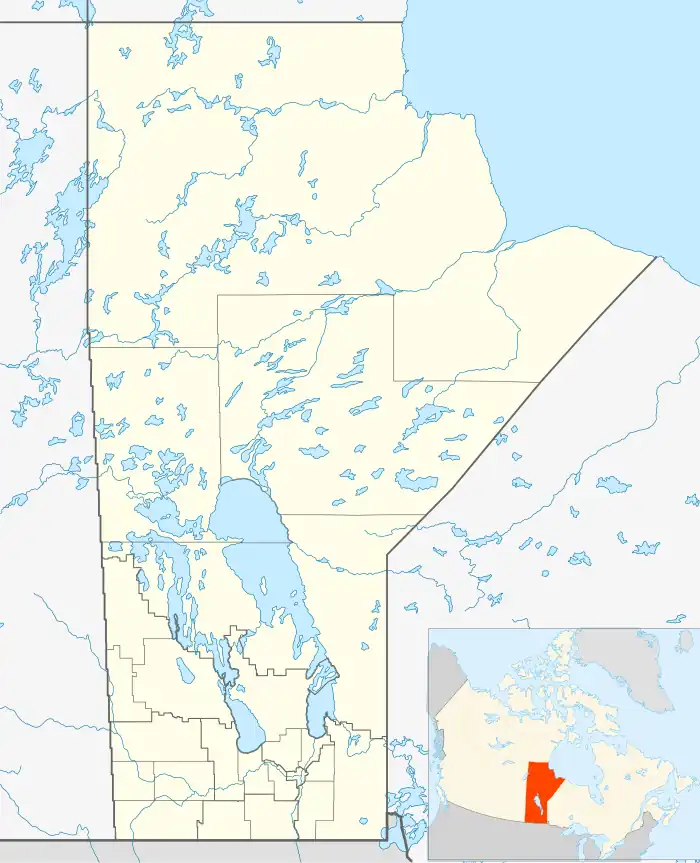 Balmoral, Manitoba Location of Balmoral in Manitoba | |
| Coordinates: 50°15′24″N 97°19′16″W | |
| Country | |
| Province | |
| Region | Winnipeg Capital Region |
| Rural Municipality | Rockwood |
| Elevation | 254 m (833 ft) |
| Time zone | UTC-6 (CST) |
| • Summer (DST) | UTC-5 (CDT) |
| Postal Code | R0C 0H0 |
| Area code | 204 |
| Website | http://www.balmoralmanitoba.com/ |
The Post Office opened in 1879 to service the early settlers who began arriving in the area in 1874. There was also a Canadian Pacific railway point on 6-15-2E. The community was named after Balmoral Castle in Scotland. A School District was located on SW7-15-2E. The community was originally known as Quickfall.
See also
References
- Geographic Names of Manitoba - Balmoral (pg. 17) published by the Millennium Bureau of Canada
- Balmoral, Manitoba
Division No. 14, Manitoba (South Interlake) | ||
|---|---|---|
| Towns | 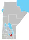 | |
| Rural municipalities | ||
| Unincorporated communities | ||
This article is issued from Wikipedia. The text is licensed under Creative Commons - Attribution - Sharealike. Additional terms may apply for the media files.