Ballynagaul, County Waterford
Ballynagaul (Irish: Baile na nGall, its official name) is a Gaeltacht area within the Irish-speaking Gaeltacht na nDéise part of County Waterford. Comprising the townlands of Baile na nGall Mór and Baile na nGall Beag (Ballynagaul More and Ballynagaul Beg),[1][2] it is located approximately 9.6 kilometres southeast of Dungarvan. The village of Ring is located in the area.[3]
Ballynagaul
Baile na nGall | |
|---|---|
Gaeltacht district | |
 Coastal path in Ballynagaul More (Baile na nGall Mór) townland | |
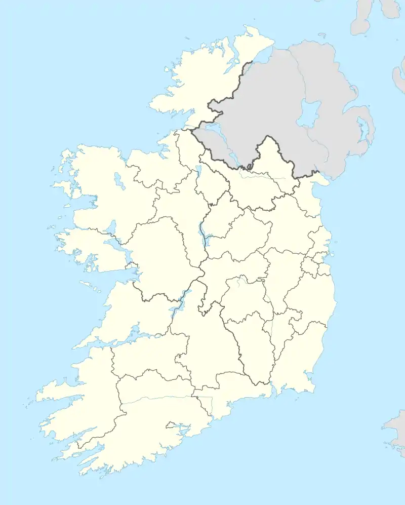 Ballynagaul Location in Ireland | |
| Coordinates: 52°02′53″N 7°34′01″W | |
| Country | Ireland |
| Province | Munster |
| County | Waterford |
| Time zone | UTC+0 (WET) |
| • Summer (DST) | UTC-1 (IST (WEST)) |
| Irish Grid Reference | X297885 |
Ballynagaul contains a pub (Tig an Ceoil),[4] a shop, a playground known as 'An Imearlann',[5] a small restaurant, a fishing pier (Cé Bhaile na nGall), and a beach.[4] "Criostal na Rinne", a workshop where hand-cut glassware is made is also located in Baile na nGall.[6]
References
- "Baile na nGall Beag / Ballynagaul Beg". logainm.ie. Placenames Database of Ireland. Retrieved 18 June 2022.
- "Baile na nGall Mór / Ballynagaul More". logainm.ie. Placenames Database of Ireland. Retrieved 18 June 2022.
- "An Rinn / Ringville". logainm.ie. Placenames Database of Ireland. Retrieved 18 June 2022.
- "Port Lairge-Waterford" (PDF). Comhlacht Forbartha na nDeise. Archived (PDF) from the original on 4 March 2016. Retrieved 10 January 2021 – via deiseabu.files.wordpress.com.
- "Faoiseamh & Spraoi / Leisure - Comhlucht Forbartha na nDéise". Deise.ie. Archived from the original on 29 November 2014. Retrieved 2 July 2015.
- "Criostal na Rinne". Criostal.com. Archived from the original on 28 February 2021. Retrieved 2 July 2015.
Criostal na Rinne, Ballynagaul Beg, Dungarvan, Co. Waterford
Places in County Waterford | ||
|---|---|---|
| Towns |  | |
| Villages and Townlands |
| |
| ||
This article is issued from Wikipedia. The text is licensed under Creative Commons - Attribution - Sharealike. Additional terms may apply for the media files.