Ballymurphy, County Carlow
Ballymurphy, historically Ballymurchoe[1] (Irish: Baile Uí Mhurchú),[2] is a village in County Carlow, Ireland on the R702 regional road. It lies on the western flank of the Blackstairs Mountains.
Ballymurphy
Baile Uí Mhurchú | |
|---|---|
Village | |
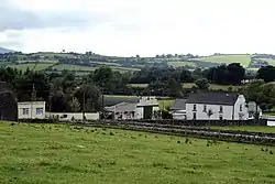 Ballymurphy, County Carlow | |
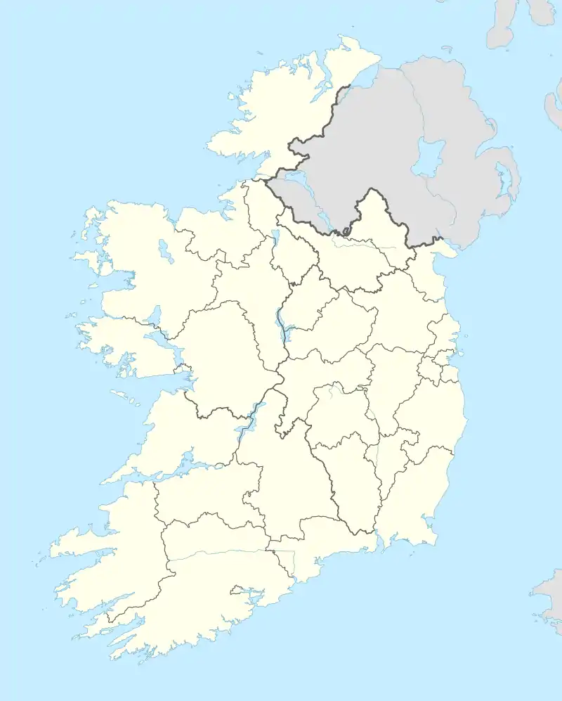 Ballymurphy Location in Ireland | |
| Coordinates: 52°34′17″N 6°51′44″W | |
| Country | Ireland |
| Province | Leinster |
| County | County Carlow |
| Time zone | UTC+0 (WET) |
| • Summer (DST) | UTC-1 (IST (WEST)) |
Ballymurphy lies between the Carlow town of Borris and the Wexford village of Kiltealy.
References
- Placenames Database of Ireland (see archival records)
- "Baile Uí Mhurchú/Ballymurphy". logainm.ie (in Irish). Retrieved 7 March 2023.

Ballymurphy, County Carlow
Places in County Carlow | ||
|---|---|---|
| Towns |  | |
| Villages and townlands | ||
| Baronies | ||
| ||
This article is issued from Wikipedia. The text is licensed under Creative Commons - Attribution - Sharealike. Additional terms may apply for the media files.