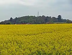
Axborough
Axborough is a low wooded hill east of Cookley in north Worcestershire, England.
| Axborough | |
|---|---|
 | |
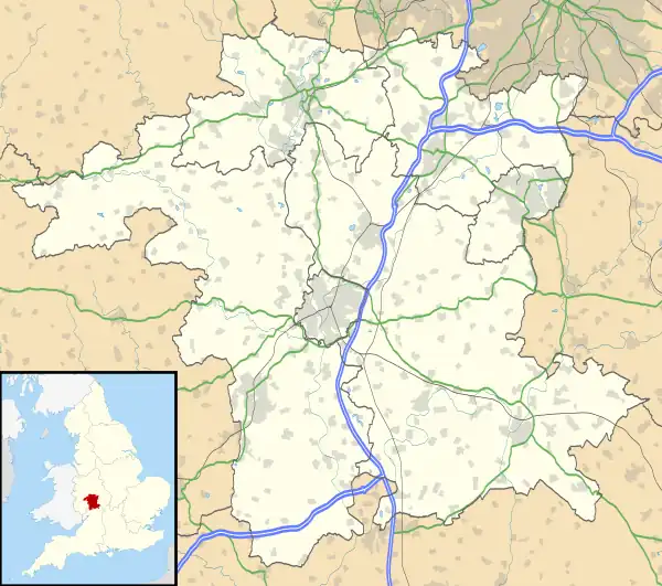 Axborough Location within Worcestershire | |
| OS grid reference | SO855794 |
| Civil parish |
|
| District | |
| Shire county | |
| Region | |
| Country | England |
| Sovereign state | United Kingdom |
| Post town | KIDDERMINSTER |
| Postcode district | DY10 |
| Dialling code | 01562 |
| Police | West Mercia |
| Fire | Hereford and Worcester |
| Ambulance | West Midlands |
History
Its Saxon name meant hassock grass barrow. This does not imply the existence of a tumulus, as in place names locally the term for them is low. The word beorh refers to a variety of hill.
Axborough lies within an area that was common land until Parliamentary inclosure in the late 18th century. A few houses exist along Axborough lane, but it is largely uninhabited.
This article is issued from Wikipedia. The text is licensed under Creative Commons - Attribution - Sharealike. Additional terms may apply for the media files.