Avon, South Australia
Avon is a locality, former rail siding and former township between Bowmans and Long Plains in the Mid North region of South Australia. The railway station was on the Adelaide–Port Augusta railway line.
| Avon South Australia | |||||||||||||||
|---|---|---|---|---|---|---|---|---|---|---|---|---|---|---|---|
 Avon | |||||||||||||||
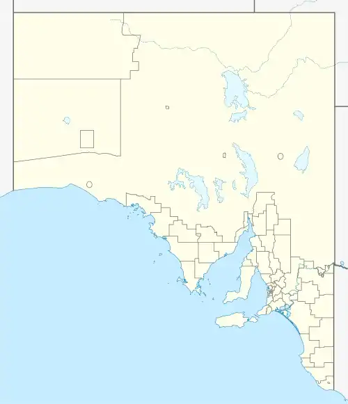
| Coordinates | 34°17′S 138°20′E | ||||||||||||||
| Population | 64 (SAL 2016)[1][2] | ||||||||||||||
| Postcode(s) | 5501 | ||||||||||||||
| Elevation | 32 m (105 ft) | ||||||||||||||
| State electorate(s) | |||||||||||||||
| Federal division(s) | Grey | ||||||||||||||
| |||||||||||||||
| Footnotes | [3] | ||||||||||||||
The name "Avon" was taken from the Avon Farm settled by the Woods family in 1889.[3] There was a school, post office store and church. The school opened in 1913.[4] A Sunday school hall was built in 1923 and community hall in 1960[5]
References
- Australian Bureau of Statistics (27 June 2017). "Avon (Suburb and Locality)". Australian Census 2016.
- Australian Bureau of Statistics (27 June 2017). "Avon (SA) (Suburb and Locality)". Australian Census 2016 QuickStats. Retrieved 28 June 2022.
- "Placename Details: Avon (LOCB)". Location SA Viewer. Government of South Australia. 13 October 2009. SA0003622. Retrieved 2 September 2021.
- "Students of Balaklava primary schools". State Library of South Australia. Retrieved 27 August 2017.
- "Avon Hall Complex". 26 September 2016. Retrieved 27 August 2017.
This article is issued from Wikipedia. The text is licensed under Creative Commons - Attribution - Sharealike. Additional terms may apply for the media files.