Angostura, South Dakota
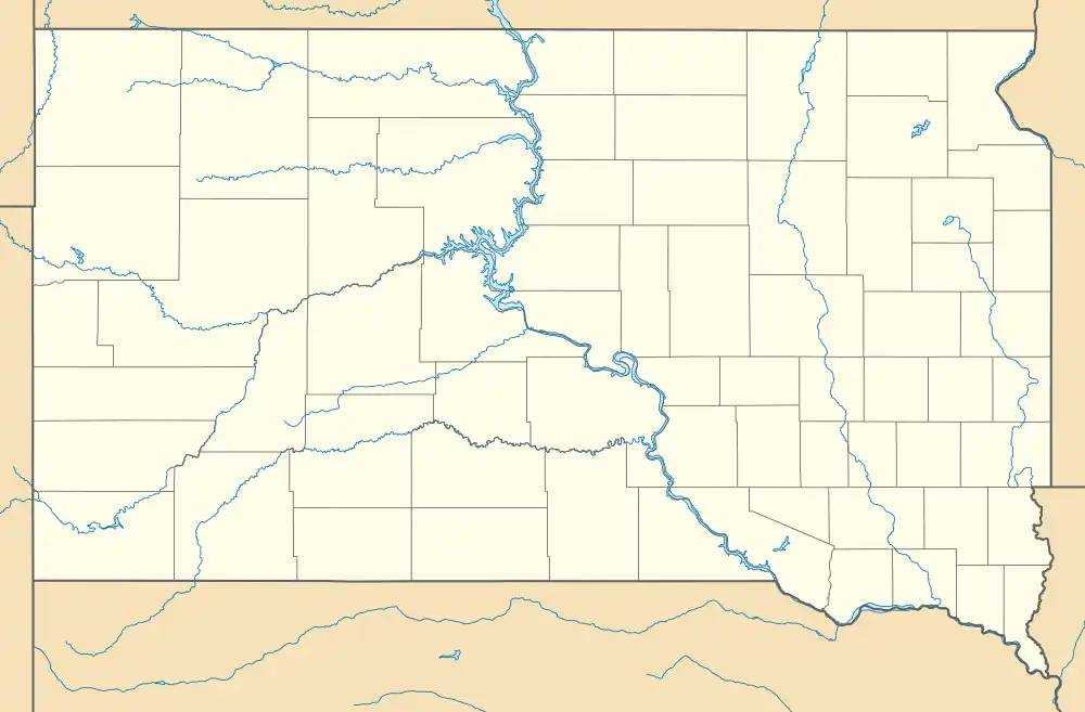
Angostura is an unincorporated area and census-designated place (CDP) in Fall River County, South Dakota, United States. The population was 159 at the 2020 census.[4]
Angostura, South Dakota | |
|---|---|
 Angostura  Angostura | |
| Coordinates: 43°19′09″N 103°23′10″W | |
| Country | United States |
| State | South Dakota |
| County | Fall River |
| Area | |
| • Total | 12.61 sq mi (32.65 km2) |
| • Land | 12.59 sq mi (32.60 km2) |
| • Water | 0.02 sq mi (0.05 km2) |
| Elevation | 3,301 ft (1,006 m) |
| Population | |
| • Total | 159 |
| • Density | 12.63/sq mi (4.88/km2) |
| Time zone | UTC-7 (Mountain (MST)) |
| • Summer (DST) | UTC-6 (MDT) |
| ZIP Code | 57747 (Hot Springs) |
| Area code | 605 |
| FIPS code | 46-01560 |
| GNIS feature ID | 2807102[2] |
It is northeast of the center of the county, between U.S. Routes 18/385 to the northeast and Angostura Reservoir to the southwest. Residential development is primarily in the Angostura Heights area in the southern part of the CDP. The shoreline area next to the reservoir is part of the state-managed Angostura Recreation Area.
The community is 11 miles (18 km) southeast of Hot Springs and 13 miles (21 km) northwest of Oelrichs.
References
- "ArcGIS REST Services Directory". United States Census Bureau. Retrieved October 15, 2022.
- U.S. Geological Survey Geographic Names Information System: Angostura, South Dakota
- "Census Population API". United States Census Bureau. Retrieved October 15, 2022.
- "U.S. Census Bureau: Angostura CDP, South Dakota". www.census.gov. United States Census Bureau. Retrieved March 23, 2022.
- "Census of Population and Housing". Census.gov. Retrieved June 4, 2016.
This article is issued from Wikipedia. The text is licensed under Creative Commons - Attribution - Sharealike. Additional terms may apply for the media files.
