Andampy
Andampy is a rural municipality in northern Madagascar. It belongs to the district of Antalaha, which is a part of Sava Region. The municipality has a populations of 6,843 inhabitants (2019).
Andampy | |
|---|---|
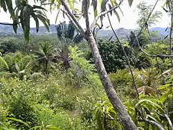 Forest at Andampy | |
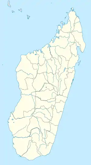 Andampy Location in Madagascar | |
| Coordinates: 14°54′S 49°52′E | |
| Country | |
| Region | Sava |
| District | Antalaha |
| Elevation | 18 m (59 ft) |
| Population (2019)Census | |
| • Total | 6,843 |
| Time zone | UTC3 (EAT) |
| Postal code | 206 |
Agriculture
The agriculture is mainly subsistential: rice, manioc, banana, sugar cane and coco nuts. Next to it also vanilla, cloves and coffee is planted.[1]
Tourism
It is situated at the border of the Masoala National Park.
References
Wikimedia Commons has media related to Andampy.

This article is issued from Wikipedia. The text is licensed under Creative Commons - Attribution - Sharealike. Additional terms may apply for the media files.