Ambatofinandrahana
Ambatofinandrahana is a municipality in Ambatofinandrahana District in central Madagascar.
Ambatofinandrahana | |
|---|---|
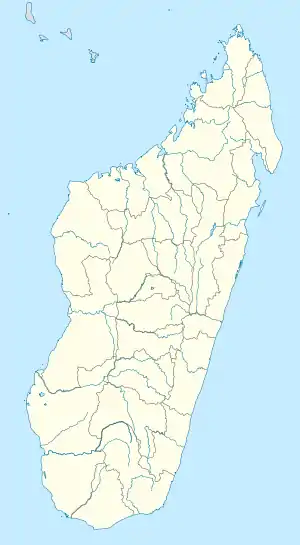 Ambatofinandrahana Location in Madagascar | |
| Coordinates: 20°33′0″S 46°48′0″E | |
| Country | |
| District | Ambatofinandrahana District |
| Region | Amoron'i Mania |
| Postal code | 304 |
| Climate | Cwb |
It is a part of Amoron'i Mania region.
Geography
This town lies at the Route nationale 35 from Morondava to Ivato at 67 km from Ivato.
Nature
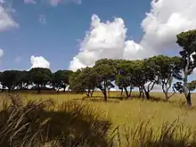
Tapia forest in the Itremo Massif
The protected area of the Massif d'Itremo.
The Tapia forest of Ambatofinandrahana supplies the town with fruits, champignons and wild silk.[1]
Geology
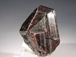
Rutile from Ambatofinandrahana
The only quartzite and marble quarries of Madagascar are found within 40km from this town and there are found 7 qualities: green, pink, brown, cream, blue pastel, white and black.[2]
References
Capital: Ambositra | ||
| Ambatofinandrahana (9) - 304 | 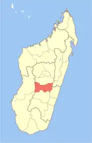 | |
| Ambositra (21) - 306 |
| |
| Fandriana (13) - 308 | ||
| Manandriana (10) - 323 | ||
4 districts; 53 communes | ||
This article is issued from Wikipedia. The text is licensed under Creative Commons - Attribution - Sharealike. Additional terms may apply for the media files.