Altheim, Austria
Altheim is a town in eastern Austria. It is situated within the District of Braunau am Inn in the traditional region of Innviertel in the state of Upper Austria. It lies on the small river known as the Mühlheimer Ache, a tributary of the River Inn.
Altheim | |
|---|---|
 Altheim parish church | |
 Coat of arms | |
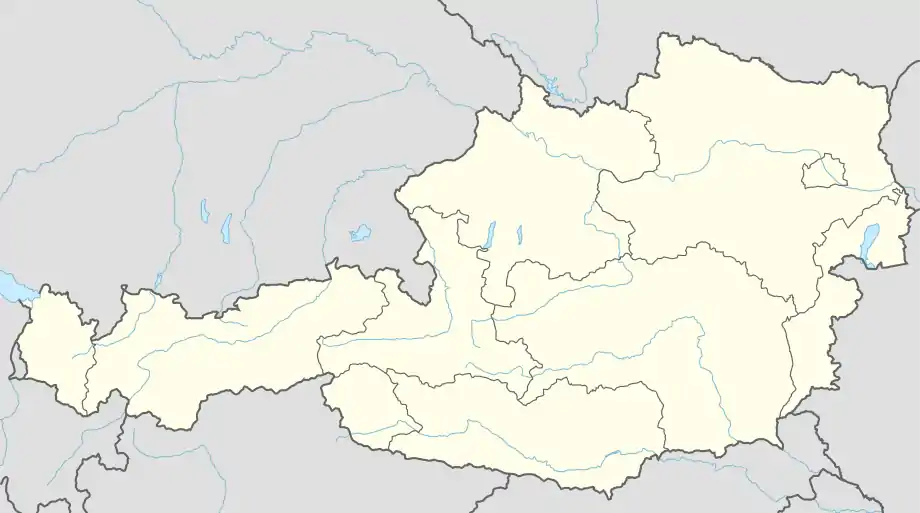 Altheim Location within Austria | |
| Coordinates: 48°15′00″N 13°14′00″E | |
| Country | Austria |
| State | Upper Austria |
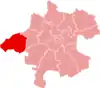
| District | Braunau am Inn |
| Government | |
| • Mayor | Harald Huber (FPÖ)[1] |
| Area | |
| • Total | 22.63 km2 (8.74 sq mi) |
| Elevation | 363 m (1,191 ft) |
| Population (2018-01-01)[3] | |
| • Total | 4,839 |
| • Density | 210/km2 (550/sq mi) |
| Time zone | UTC+1 (CET) |
| • Summer (DST) | UTC+2 (CEST) |
| Postal code | 4950 |
| Area code | 07723 |
| Vehicle registration | BR |
| Website | www.altheim.ooe.gv.at |
Population
|
|
|
Villages
- Altheim
- Diepolding
- Englwertsham
- Gallenberg
- Gaugsham
- Kling
- Lehen
- Lüfteneck
- Mauernberg
- Schwaig
- Stern
- Wagham
- Weidenthal
- Weirading
- Wolfegg
Sights
In 1985 archaeologists discovered the ruins of a Roman villa in farmland just outside Altheim. In the town there is a Roman museum dedicated to these findings, the Ochzethaus Archived 2009-03-14 at the Wayback Machine.
See also
References
- "Bgm. Harald Huber - Stadtamt Altheim - POLITIK - Bürgermeister". Retrieved 27 January 2023.
- "Dauersiedlungsraum der Gemeinden Politischen Bezirke und Bundesländer - Gebietsstand 1.1.2018". Statistics Austria. Retrieved 10 March 2019.
- "Einwohnerzahl 1.1.2018 nach Gemeinden mit Status, Gebietsstand 1.1.2018". Statistics Austria. Retrieved 9 March 2019.
External links
Wikimedia Commons has media related to Altheim (Oberösterreich).
Places adjacent to Altheim, Austria | |
|---|---|
This article is issued from Wikipedia. The text is licensed under Creative Commons - Attribution - Sharealike. Additional terms may apply for the media files.