Alta Floresta
Alta Floresta (Portuguese for "High Forest") is a municipality in Mato Grosso, Brazil. It is located at around 9°53′10″S 56°5′14″W.
Alta Floresta, Mato Grosso | |
|---|---|
Municipality | |
 Flag  Seal | |
| Motto: A força da União (The force of union) | |
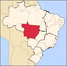
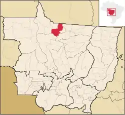 Location of Alta Floresta in Mato Grosso | |
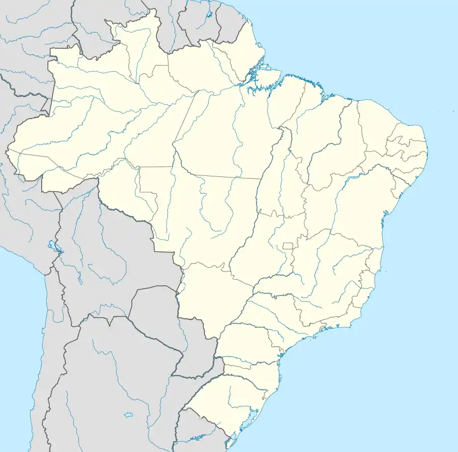 Alta Floresta, Mato Grosso Location in Brazil | |
| Coordinates: 12°32′42″S 55°42′39″W | |
| Country | |
| Region | Center-West |
| State | Mato Grosso |
| Mesoregion | Norte Mato-Grossense |
| Founded | May 19, 1976 |
| Founded by | Ariosto da Riva [1] |
| Government | |
| • Mayor | Valdemar Gamba (PSD) |
| Area | |
| • Total | 3,454.483 sq mi (8,947.069 km2) |
| Elevation | 928 ft (283 m) |
| Population (2022 [2]) | |
| • Total | 58,613 |
| • Density | 17/sq mi (6.6/km2) |
| Time zone | UTC−3 (BRT) |
| Demonym | altaflorestense, florestense |
The municipality is served by Piloto Osvaldo Marques Dias Airport.
The municipality contains a small part of the 184,900 hectares (457,000 acres) Cristalino State Park, created in 2001.[3]
References
- Infraestrutura do Módulo do Parque Estadual do Cristalino (in Portuguese), PPBio, retrieved 2016-11-01
External links
 Media related to Alta Floresta at Wikimedia Commons
 Alta Floresta travel guide from Wikivoyage
- Tour Guide to Alta Floresta
Capital: Cuiabá | |||||||||||||||||
| Centro-Sul Mato-Grossense |
|  | |||||||||||||||
| Nordeste Mato-Grossense |
| ||||||||||||||||
| Norte Mato-Grossense |
| ||||||||||||||||
| Sudeste Mato-Grossense |
| ||||||||||||||||
| Sudoeste Mato-Grossense |
| ||||||||||||||||
This article is issued from Wikipedia. The text is licensed under Creative Commons - Attribution - Sharealike. Additional terms may apply for the media files.