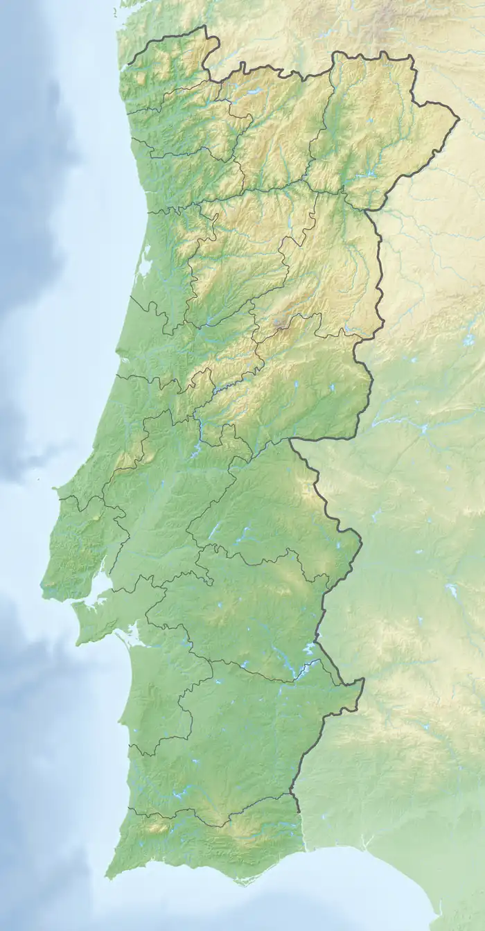
Alcantarilha River
The Alcantarilha River (Portuguese pronunciation: [alˌkɐ̃tɐˈɾiʎɐ]) is a small river in the south central region of the Algarve, Portugal. The river begins at the conflux of three tributary streams a little south of the village of Miões in the municipality of Silves.[2][3] Downstream the river also has several further tributaries including the Algoz River (Ribeiro de Algoz). The river runs for a length of 12.2 miles (19.6 km) from its conflux to the mouth at the Atlantic ocean in south central Algarve.
| Alcantarilha River Ribeiro de Enxurrada[1] | |
|---|---|
.JPG.webp) Footbridge over the Alcantarilha river in the rivers saltmarshes | |
 Red Dot = Alcantarilha River mouth | |
| Native name | Ribeiro de Alcantarilha (Portuguese) |
| Location | |
| Country | Portugal |
| Region | Algarve |
| District | Faro |
| Municipality | Silves |
| Physical characteristics | |
| Source | |
| • location | Miões, Tunes, Algarve |
| • coordinates | 37°11′58.6″N 8°17′10.0″W |
| Mouth | The south central coast of the Algarve into the Atlantic at Armação de Pêra |
• coordinates | 37.098646°N 8.351795°W |
| Length | 12.2 mi (19.6 km), North east to South |
Description
The Armação de Pêra wetlands
The river runs south towards the south coast and its mouth is at Armação de Pêra.[4][5] At Armação de Pêra the river is the main tributary to an area of shallow salt marsh which over the years has been neglected and is polluted.[6] Plans have been made to improve the environment in the near future as the wetlands are an important habitat for water fowl and a wintering and nesting site for a numerous species of birds. The wetland is also an important stopping point for thousands of migrating birds.
References
- Garcia Domingues, José Domingos. Silves: Tourist Guide to the Town and Borough. p. 117.
{{cite book}}:|work=ignored (help) - "49-D Silves" (Map). Sheet map scale 1:50 000 Carta Corografica De Portugal – 49D Map showing the confluence of the streams that form the Alcantarilha River. Instituto Geografico Portugues. ISBN 9789728867102.
- "49-D Silves". Listing of the Map on Stanford’s website. Stanfords Bookshop. Retrieved 17 September 2014.
- "52-B Albufeira". Listing of the Map on Stanford’s website. Stanfords Bookshop. Archived from the original on 6 October 2014. Retrieved 15 September 2014.
- "52-B Albufeira" (Map). Sheet map scale 1:50 000 Carta Corografica De Portugal – 52B Map showing the Alcantarilha River and the wetlands at Armacao de Pera. Instituto Geografico Portugues.
- "Algarvepress – Monthly Archives: March 2013 - Members of PS want regeneration of Ribeira Alcantarilha and Marshland Armacao de Pera". reference to the neglected and polluted wetland and river. AlgarvePress. Retrieved 17 September 2014.
