Alberti Partido
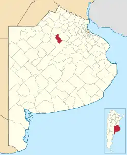
Alberti is a northern central partido of Buenos Aires Province, Argentina, at coordinates 35°02′S 60°15′W
Alberti
Partido de Alberti | |
|---|---|
 | |
| Country | |
| Province | |
| Established | June 10, 1910 |
| Founded by | Andres Vaccarezza |
| Seat | Alberti |
| Government | |
| • Mayor | Germán Lago, PJ |
| Area | |
| • Total | 1,130 km2 (440 sq mi) |
| Population | |
| • Total | 10,322 |
| • Density | 9.1/km2 (24/sq mi) |
| Demonym | albertino |
| Postal Code | B6634 |
| IFAM | |
| Area Code | 02346 |
| Website | www |
Alberti is located at the south of the Gran Buenos Aires urban area. It has an area of 1,130 km² (436 sq mi) and 10,322 inhabitants (2001 census [INDEC]).
Economy
The economy of Alberti is dominated by agriculture. Its main products are wheat, maize, soya beans, oats, sunflowers, sorghum, and industrial crops.
Attractions
- Raúl Lozza Gallery of Contemporary Art, Alberti
- Parque Municipal (Municipal park), Alberti
Settlements
- Alberti (Capital) (7,493 inhabitants)
- Achupallas (112 inhabitants)
- Anderson
- Baudrix
- Villa Ortíz, Estación Coronel Mom (857 inhabitants)
- Coronel Seguí (148 inhabitants)
- Gobernador Ugarte
- Mechita (438 inhabitants)
- Larrea
- Emita
- Palantelén
- Plá (237 inhabitants)
- Presidente Quintana
- Villa Grisolía
- Villa María (21 inhabitants)
External links
Wikimedia Commons has media related to Alberti Partido.
This article is issued from Wikipedia. The text is licensed under Creative Commons - Attribution - Sharealike. Additional terms may apply for the media files.